
GNIS feature ID 0467771 Area 92.2 km² Local time Wednesday 4:21 AM | Time zone CST (UTC-6) Elevation 287 m Population 1,240 (2000) | |
 | ||
ZIP codes 52209, 52315, 52346, 52354 Weather 3°C, Wind W at 31 km/h, 50% Humidity | ||
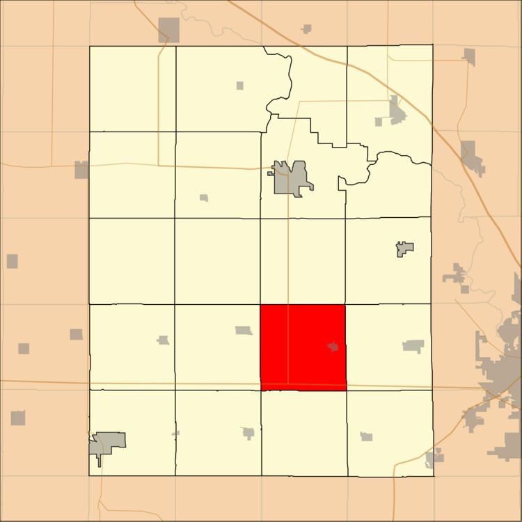
Eldorado Township is one of twenty townships in Benton County, Iowa, USA. As of the 2000 census, its population was 1,240.
Contents
- Map of Eldorado IA USA
- Geography
- Cities towns villages
- Adjacent townships
- Cemeteries
- Major highways
- School districts
- Political districts
- References
Map of Eldorado, IA, USA
Geography
According to the United States Census Bureau, Eldorado Township covers an area of 35.6 square miles (92.21 square kilometers).
Cities, towns, villages
Adjacent townships
Cemeteries
The township contains these three cemeteries: Prairie Lutheran, Saint Johns Lutheran and Salem.
Major highways
School districts
Political districts
References
Eldorado Township, Benton County, Iowa Wikipedia(Text) CC BY-SA