
ZIP codes 52209, 52257 Elevation 260 m Local time Wednesday 4:26 PM | Time zone CST (UTC-6) GNIS feature ID 0468206 Area 92.67 km² Population 1,099 (2000) | |
 | ||
Weather -1°C, Wind SW at 8 km/h, 44% Humidity | ||
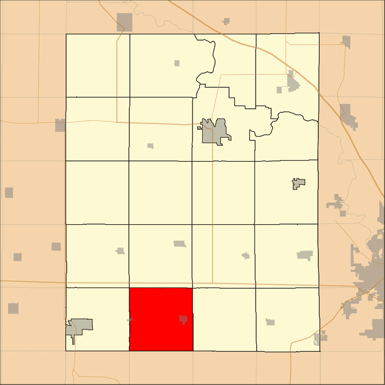
Leroy Township is one of twenty townships in Benton County, Iowa, USA. As of the 2000 census, its population was 1,099.
Contents
- Map of Leroy IA USA
- Geography
- Cities towns villages
- Adjacent townships
- Cemeteries
- Lakes
- Landmarks
- School districts
- Political districts
- References
Map of Leroy, IA, USA
Geography
According to the United States Census Bureau, Leroy Township covers an area of 35.78 square miles (92.67 square kilometers); of this, 35.7 square miles (92.47 square kilometers, 99.78 percent) is land and 0.08 square miles (0.2 square kilometers, 0.22 percent) is water.
Cities, towns, villages
Adjacent townships
Cemeteries
The township contains these four cemeteries: International, Old International, Pleasant Hill and Stringtown (historical).
Lakes
Landmarks
School districts
Political districts
References
Leroy Township, Benton County, Iowa Wikipedia(Text) CC BY-SA