
GNIS feature ID 0467836 Area 94.09 km² Population 2,258 (2000) | Time zone CST (UTC-6) Elevation 237 m Local time Monday 6:38 AM | |
 | ||
ZIP codes 52206, 52228, 52318, 52351, 52354 Weather -3°C, Wind NE at 24 km/h, 95% Humidity | ||
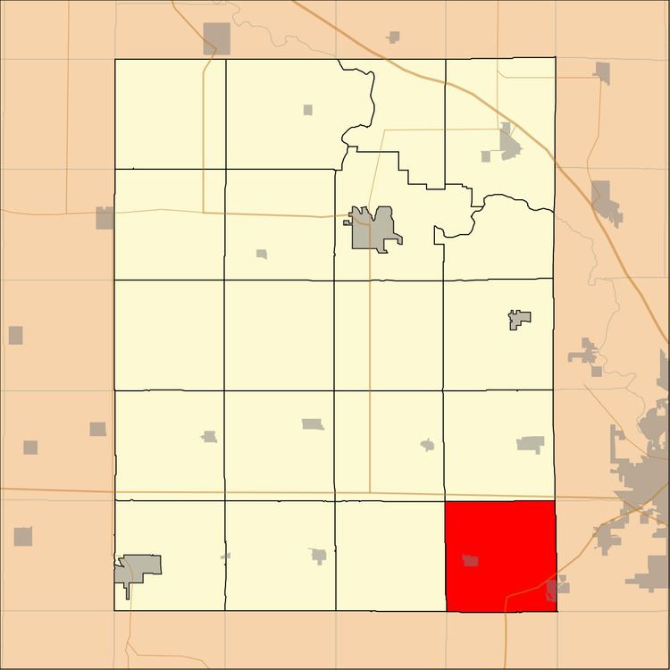
Florence Township is one of twenty townships in Benton County, Iowa, USA. As of the 2000 census, its population was 2,258.
Contents
- Map of Florence IA USA
- Geography
- Cities towns villages
- Adjacent townships
- Cemeteries
- Major highways
- School districts
- Political districts
- References
Map of Florence, IA, USA
Geography
According to the United States Census Bureau, Florence Township covers an area of 36.33 square miles (94.09 square kilometers).
Cities, towns, villages
Adjacent townships
Cemeteries
The township contains these two cemeteries: Norway and Saint Michaels.
Major highways
School districts
Political districts
References
Florence Township, Benton County, Iowa Wikipedia(Text) CC BY-SA