
ZIP codes 52209, 52301, 52354 Elevation 256 m Local time Friday 10:33 AM | Time zone CST (UTC-6) GNIS feature ID 0468653 Area 92.77 km² Population 461 (2000) | |
 | ||
Weather 4°C, Wind N at 23 km/h, 84% Humidity | ||
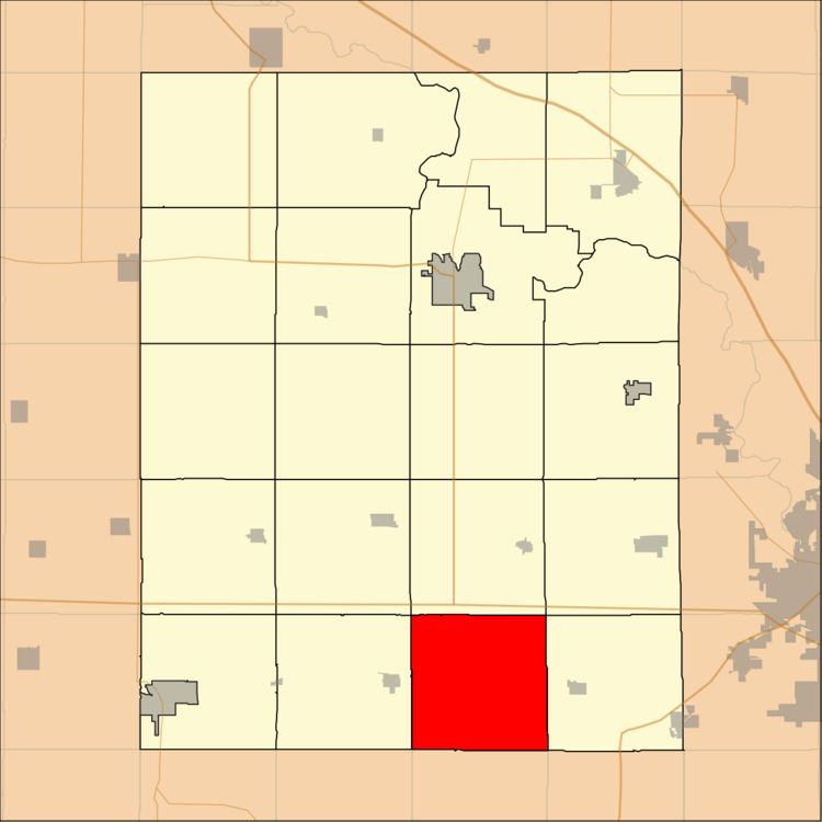
Saint Clair Township is one of twenty townships in Benton County, Iowa, USA. As of the 2000 census, its population was 461.
Contents
Map of St Clair, IA, USA
Geography
According to the United States Census Bureau, Saint Clair Township covers an area of 35.82 square miles (92.78 square kilometers).
Adjacent townships
School districts
Political districts
References
St. Clair Township, Benton County, Iowa Wikipedia(Text) CC BY-SA