
County Berkshire Incorporated 1784 Elevation 365 m Population 6,756 (2010) | Settled 1755 Zip code 01226 Local time Thursday 12:31 AM | |
 | ||
Weather 6°C, Wind W at 18 km/h, 44% Humidity | ||
Dalton is a town in Berkshire County, Massachusetts. Dalton is a transition town between the urban and rural portions of Berkshire County. It is part of the Pittsfield, Massachusetts Metropolitan Statistical Area. The population was 6,756 at the 2010 census.
Contents
Map of Dalton, MA, USA
History
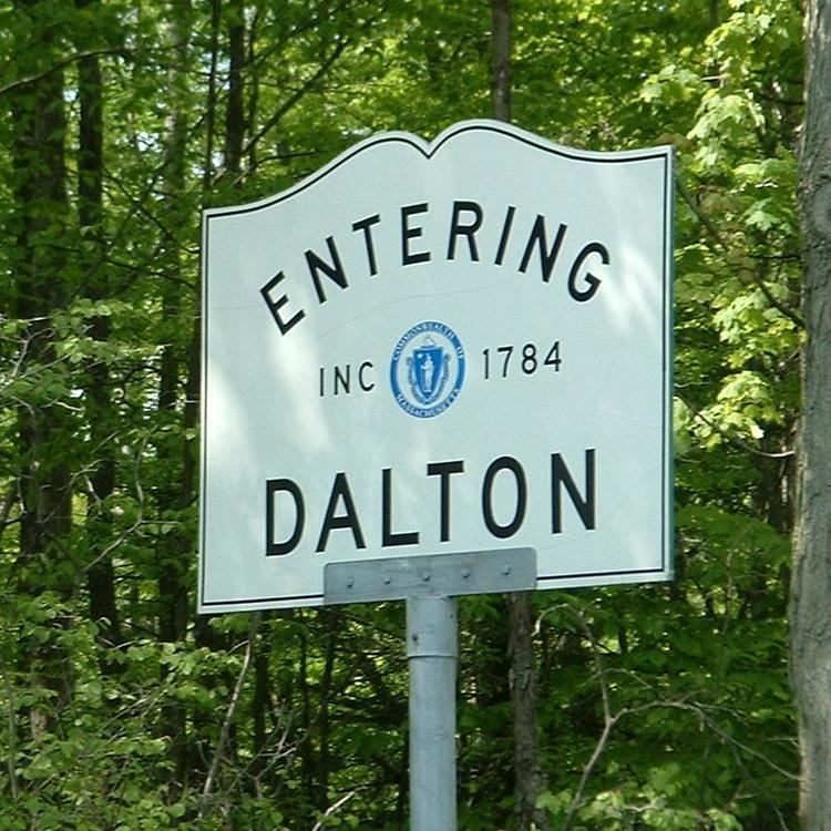
Dalton was first settled in 1755 and officially incorporated in 1784. The town was named after Tristram Dalton, the Speaker of the Massachusetts House of Representatives at the time of the town's incorporation.
Dalton was settled as a rural-industrial community, with mills set up along the East Branch of the Housatonic River and small patches of farmland in other areas. In 1801, Zenas Crane, Henry Wiswall and John Willard set up a paper mill along the river which, by 1844, had begun producing banknote paper, which was purchased by banks all the way to Boston. The company, Crane & Co., still is the largest employer in town, making paper products, stationery, and, since 1873, has been the only supplier of paper for the Federal Reserve Note, the United States' paper money. The town now has a mix of small town and suburban qualities, and was served by trolleys to Pittsfield for many years.
In 1973, Dalton was the host of the International Six Days Enduro (ISDE or ISDT). Also referred to as "The Olympics of Motorcycling". The ISDE is an annual event held in a different country each year since 1913 (minus WW-I & WW-II), and draws competitors from all around the world.
Notable people
Geography
According to the United States Census Bureau, the town has a total area of 21.9 square miles (56.7 km2), of which 21.8 square miles (56.4 km2) is land and 0.12 square miles (0.3 km2), or 0.45%, is water. Dalton is bordered by Cheshire to the northwest and north, Windsor to the northeast, Hinsdale to the east, Washington to the south, and Pittsfield and Lanesborough to the west. The town center is 5 miles (8 km) northeast of downtown Pittsfield, 45 miles (72 km) northwest of Springfield, and 140 miles (230 km) west of Boston.
Dalton's center of population, due to its milling history, is around the valley of the East Branch of the Housatonic River. Several brooks run into the river, including Wahconah Falls Brook, whose eponymous waterfalls are a small state park. Much of the rest of town is dominated by the Berkshires, with the north being on a plateau between the peaks of North Mountain and Western Mountain, covered by the Dalton Wildlife Management Area. The south is dominated by Tully Mountain, whose peak is just over the Hinsdale line. The Appalachian Trail winds through town, passing between Tully and North Mountains through the downtown area.
Dalton lies at the junction of Massachusetts Route 8, Route 8A and Route 9, with the latter two running concurrently. Route 9 is the major central east-west route through the state, and ends in neighboring Pittsfield. Dalton's nearest interstate is Interstate 90, the Massachusetts Turnpike, whose nearest exit is 15 miles (24 km) south of town. The town, formerly served by trolley service from Pittsfield, is still on a route of the Berkshire Regional Transit Authority's bus service. The rail line is still active in town, used by CSX Transportation. The nearest regional air service can be found at Pittsfield Municipal Airport, and the nearest national air service can be found at Albany International Airport.
Demographics
As of the census of 2000, there were 6,892 people, 2,712 households, and 1,857 families residing in the town. By population, Dalton ranks sixth out of the 32 cities and towns in Berkshire County, and 217th out of the 351 cities and towns in Massachusetts. The population density was 316.0 people per square mile (122.0/km²), which ranks 4th in the county and 210th in the Commonwealth. There were 2,832 housing units at an average density of 129.8 per square mile (50.1/km²). The racial makeup of the town was 97.78% White, 0.51% African American, 0.12% Native American, 0.71% Asian, 0.44% from other races, and 0.45% from two or more races. Hispanic or Latino of any race were 1.02% of the population.
There were 2,712 households out of which 32.2% had children under the age of 18 living with them, 54.5% were married couples living together, 10.9% had a female householder with no husband present, and 31.5% were non-families. 26.9% of all households were made up of individuals and 12.5% had someone living alone who was 65 years of age or older. The average household size was 2.50 and the average family size was 3.04.
In the town, the population was spread out with 25.8% under the age of 18, 6.1% from 18 to 24, 26.2% from 25 to 44, 25.2% from 45 to 64, and 16.7% who were 65 years of age or older. The median age was 40 years. For every 100 females there were 91.5 males. For every 100 females age 18 and over, there were 85.5 males.
The median income for a household in the town was $47,891, and the median income for a family was $59,717. Males had a median income of $41,379 versus $28,885 for females. The per capita income for the town was $23,634. About 1.2% of families and 2.7% of the population were below the poverty line, including 1.5% of those under age 18 and 7.1% of those age 65 or over.
The town has churches for several different Christian denominations, including a Congregational church, a Roman Catholic Church, a Methodist Church, an Episcopal church and a Church of the Nazarene.
Government
Dalton uses the open town meeting form of government, and is led by a board of selectmen and an administrative assistant. Dalton has its own police, fire district, ambulance, and public works departments. The town's public library, located adjacent to the town hall, is a member of the regional library network. The nearest hospital, Berkshire Medical Center, is in neighboring Pittsfield.
On the state level, Dalton is represented in the Massachusetts House of Representatives as part of the Second Berkshire district, represented by Paul Mark, which covers towns in Berkshire County, Hampshire County, and Franklin County. In the Massachusetts Senate, the town is part of the Berkshire, Hampshire and Franklin district, represented by Ben Downing, which includes all of Berkshire County and western Hampshire and Franklin counties. The town is patrolled by the Fourth (Cheshire) Station of Barracks "B" of the Massachusetts State Police.
On the national level, Dalton is represented in the United States House of Representatives as part of Massachusetts's 1st congressional district. MA-01 is represented by Richard Neal of Springfield, Massachusetts. Dalton's two members of the United States Senate are Elizabeth Warren and Ed Markey.
Education
Dalton is the town with the highest population in the Central Berkshire Regional School District. Craneville Elementary School serves Dalton students from kindergarten through fifth grade. Nessacus Regional Middle School, also in Dalton, serves all middle school students in the district, and Wahconah Regional High School is the district's high school, located in Dalton. The athletic teams are nicknamed the Warriors, and their colors are blue and white.
The town is also home to a parochial school, Saint Agnes Academy, which serves students from pre-kindergarten through eighth grades. There are other private and parochial schools in neighboring Pittsfield, including a Catholic high school.
The nearest community college, Berkshire Community College, is located in Pittsfield. The nearest state college is Massachusetts College of Liberal Arts in North Adams, and the nearest university is the University of Massachusetts Amherst.
Dalton gave its name to the Dalton Plan educational concept and the Dalton School (see Helen Parkhurst). {}