
Type Highway Length 598 km | Route number(s) B75Entire route | |
 | ||
South end Northern Highway (B75), Moama, NSW / Echuca, Victoria (NSW/Vic Border) Major settlements Ivanhoe, Booligal, Hay, Deniliquin | ||
The Cobb Highway is a state highway in the western Riverina and the far western regions of New South Wales, with a short section in Victoria, Australia.
Contents
Map of Cobb Hwy, New South Wales, Australia
Initially an amalgam of stock routes, the 571-kilometre (355 mi) Cobb Highway was proclaimed during the late 1930s, initially extending from the New South Wales and Victorian border north to Wilcannia, White Cliffs and Tibooburra to Warri Gate at the New South Wales and Queensland border. It 1945, the highway was truncated to its current length and named in 1947 in honour of Cobb and Co, a company which ran a network of stagecoaches in inland Australia in the latter half of the 19th century and early in the 20th century. The highway follows an old coach route through the Riverina, connecting the Murray, Murrumbidgee and Lachlan rivers, and across the intervening plains to the Darling River at Wilcannia. The Cobb also connects the Barrier, Mid-Western, Sturt, and Riverina highways.
The Cobb carries the State Highway B75 shield for its entire length, the majority of which is a sealed single carriageway as far north as 10 kilometres (6.2 mi) north of Ivanhoe; and thereafter, gravel.
Route
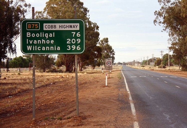
From north to south the Cobb Highway begins at its junction with the Barrier Highway near Wilcannia and runs south through the townships of Ivanhoe, Booligal, Hay and Deniliquin. Its southern terminus is in Echuca, Victoria, at a roundabout located approximately 1 kilometre (0.62 mi) south of Moama where the highway crosses the New South Wales/Victoria border at the Murray River and continues south as the Northern Highway, retaining the B75 shield.
The highway travels through diverse changes in scenery, from the Murray River, enclosed farming land in the Riverina, to open grazing land and semi-desert towards the middle and northern sections. The speed limit is posted at 100 km/h (62 mph) except from three sections where the limit is 110 km/h (68 mph), being 40 kilometres (25 mi) north of Deniliquin until Hay, Hay until a few kilometres north of Booligal and the final 110 km/h (68 mph) zone being from just south of Mossgiel to Ivanhoe.
History
In the 1930s the road now known as the Cobb Highway was proclaimed as part of State Highway 21, which also included the road north through Wilcannia, White Cliffs and Tibooburra to Warri Gate at the Queensland border. Highway 21 was truncated 18 kilometres (11 mi) south of Wilcannia on 9 February 1945 when the Silver City Highway was proclaimed. The Cobb Highway received its name in 1947 in commemoration of the Cobb & Co. coach company. In 1954, with the institution of the National Route system, the Cobb Highway in New South Wales and the Northern Highway in Victoria were designated to be National Route 75. In May 1969 a bridge over the Edward River at Deniliquin was constructed (replacing a timber bridge built in 1895). In June 1973 a bridge over Murrumbidgee River at Hay was built (replacing the 1874 opening bridge).
The Cobb Highway is part of a significant travelling stock routes network in New South Wales. The highway is the focus of a major tourism initiative entitled The Long Paddock, developed by the shires along the route (Murray, Deniliquin, Conargo, Hay and Central Darling). The Long Paddock project aims to create sustainable communities along the Cobb Highway through the development of a dynamic cultural heritage touring route. The project uses the consistent theme of transportation, involving elements of history, creative interpretation and local environment, to link the communities along the highway.