
Type Highway Length 217 km | Route number(s) B582013-present | |
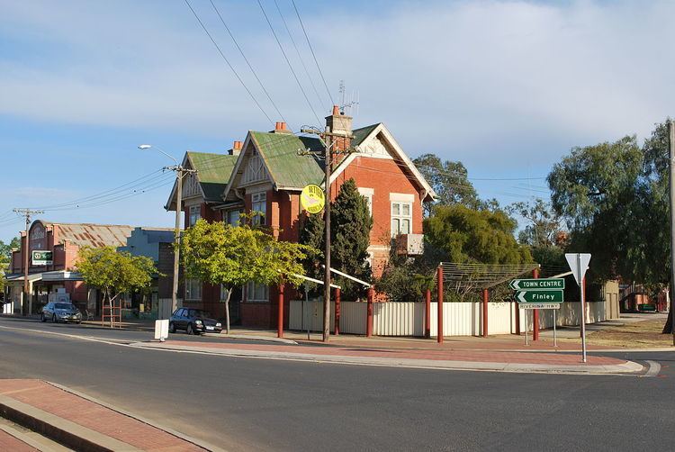 | ||
Major settlements Albury, Howlong, Berrigan, Finley | ||
The Riverina Highway is a 220-kilometre (140 mi)-long state highway located in the Riverina region of New South Wales, Australia. The road was constructed over several decades with final asphalt concrete sealing completed during the 1960s.
Contents
Map of Riverina Hwy, New South Wales, Australia
Route
The eastern terminus of the Riverina Highway is located on the eastern shore of the Hume Weir, which impounds the Murray River, immediately east of Albury. The Bethanga Bridge carries the highway across the weir as the highway generally heads west by northwest, following the course of the Murray River to reach its western terminus at Deniliquin. West of Albury, the highway passes through or near the Riverina towns of Howlong, Corowa, Berrigan and Finley where it has a short concurrency with the Newell Highway. From this point the highway follows the Mulwala Canal westward until it reaches Deniliquin, terminating at its junction with the Cobb Highway.
The highway passes through the Murrumbidgee Irrigation Area where farms, orchards and vineyards predominate. It links this area to major markets in Sydney and Melbourne via the Hume Highway in Albury. The highway is also a popular tourist route with scenic countryside, fishing and historic spots along its path.