
Population 1,577 (2012) Abolished 2016 Website Conargo Shire Area 8,738 km² Council seat Conargo | Established 1907 Founded 1907 | |
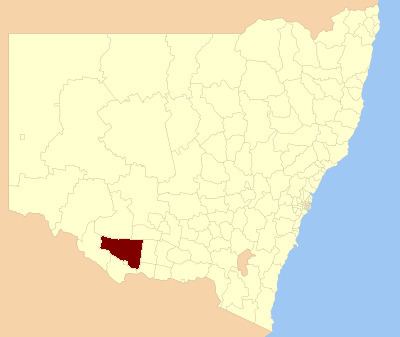 | ||
Conargo Shire was a local government area in the Riverina region in southern New South Wales, Australia.
Contents
Map of Conargo, NSW, Australia
Localities
The Shire wasdivided into four wards, and contained six villages - Conargo, Blighty, Mayrung, Pretty Pine, Wanganella and Booroorban.
History
Conargo Shire was established in 1907. In 2001 the former Windouran Shire was absorbed into Conargo Shire. This amalgamation resulted in an additional 5,090 square kilometres (1,970 sq mi) and another 387 residents.
Before mergers in recent decades it was a common in New South Wales for rural shires to have their offices in an adjacent rural municipality (rural town). At the time of its abolition, the only surviving case was Conargo Shire Council's offices in Deniliquin.
Amalgamation
A 2015 review of local government boundaries by the NSW Government Independent Pricing and Regulatory Tribunal recommended that the Conargo Shire merge with the Deniliquin Council to form a new council with an area of 8,881 square kilometres (3,429 sq mi) and support a population of approximately 9,000.
On 12 March 2016, Conargo Shire was abolished and, along with the former Deniliquin Council, the area incorporated into the new Edward River Council.
Composition and election method
The last election for the Council was due to held on 8 September 2012. However, only eight candidates, being the below, nominated for election. There being no additional candidates, the election was uncontested. The makeup of the final council was as follows:
The current Council, elected in 2012, in order of election by ward, is: