
Established 1866 Population 604 (2011 census) Local time Monday 8:53 AM | Postcode(s) 2836 Elevation 75 m Postal code 2836 | |
 | ||
Location 958 km (595 mi) from Sydney196 km (122 mi) from Broken Hill261 km (162 mi) from Cobar335 km (208 mi) from Bourke Weather 18°C, Wind SE at 13 km/h, 38% Humidity | ||
Gary the goat goes to wilcannia
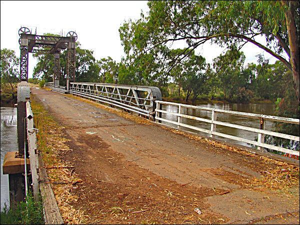
Wilcannia is a small town located within the Central Darling Shire in north western New South Wales, Australia. This was the third largest inland port in the country during the great river boat era of the mid-19th century. At the 2011 census, Wilcannia had a population of 604.
Contents
- Gary the goat goes to wilcannia
- Map of Wilcannia NSW 2836 Australia
- History
- Geography
- Climate
- Significant Weather
- Demography
- References
Map of Wilcannia NSW 2836, Australia
History
The name Wilcannia is said to be derived from an Aboriginal term for either 'gap in the bank where floodwaters escape' or 'wild dog'. Neither meaning has been linguistically verified.
In 1835, explorer Major Thomas Mitchell was the first European to the region, in which he traced the Darling River to what is now Menindee. In June 1866, the township of Wilcannia was proclaimed. In 1871, the population was 264, and grew to 1,424 by 1881. During the 1880s, Wilcannia reached its peak, and had a population of 3000 and 13 hotels and its own newspaper, the Western Grazier. It was, with Wentworth, Echuca, Mannum and Goolwa, one of the major Murray-Darling river ports which played a vital part in the transport of goods, notably wool and wheat, in the days of the paddle-steamers.
Geography
Wilcannia is located where the Barrier Highway crosses the Darling River, 965 kilometres (600 mi) from Sydney. The environment is borderline semi-arid to desert with an annual rainfall of 255 millimetres (10.0 in). Wilcannia is located within the Darling Riverine Plains Bioregion (IBRA classification, Department of Environment), consisting of landscapes adapted to flooding. Common species include River Red Gum, Yellow Box, Oldman Saltbush and Lignum.
The surrounding area is very sparsely settled by pastoralists who have large land holdings, used primarily to run sheep. These holdings fall in the Western Division and the majority are held as 99-year leases.
Climate
Wilcannia has a semi-arid climate with hot summers and mild to cool winters. Mean maximum daily temperature in summer is 34 °C and in winter is 19 °C. The highest temperature recorded in Wilcannia was 50.0 °C (122.0 °F) on 11 January 1939. This was during the severe heatwave of January 1939.
Significant Weather
On 9 November 1950, a severe thunderstorm with damaging winds and large hail the size of cricket balls struck the town. Two people were injured, dozens of homes lost their roofs and nearly every house in town was damaged due to the large hail.
Demography
From the 2011 Census, Wilcannia had a population of 604 with 466 (77%) people being of Aboriginal descent. Wilcannia has 211 private dwellings. The suburb was listed as one of the most socially disadvantaged areas in the State according to the 2015 Dropping Off The Edge report.
The town's demographic issues were highlighted in the BBC3 documentary 'Reggie Yates: Hidden Australia Episode 1: Black in the Outback', first broadcast online on 16/1/17.