
Country United States Time zone EST (UTC-5) Elevation 244 m Local time Tuesday 10:25 AM | Organized June 1875 FIPS code 18-11224 Area 139.4 km² Population 2,757 (2010) | |
 | ||
Weather 9°C, Wind W at 31 km/h, 74% Humidity | ||
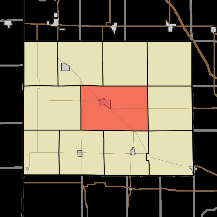
Center Township is one of eleven townships in Benton County, Indiana. As of the 2010 census, its population was 2,757 and it contained 1,251 housing units. It was organized in June 1875 and was originally known as Prairie Township.
Contents
- Map of Center Township IN USA
- Geography
- Cities and towns
- Unincorporated towns
- Adjacent townships
- Major highways
- Education
- References
Map of Center Township, IN, USA
Geography
According to the 2010 census, the township has a total area of 53.82 square miles (139.4 km2), of which 53.81 square miles (139.4 km2) (or 99.98%) is land and 0.01 square miles (0.026 km2) (or 0.02%) is water.
Cities and towns
Unincorporated towns
(This list is based on USGS data and may include former settlements.)
Adjacent townships
Major highways
Education
References
Center Township, Benton County, Indiana Wikipedia(Text) CC BY-SA