
Country United States Time zone EST (UTC-5) Elevation 241 m Local time Friday 1:55 PM | State Indiana Organized June 1864 FIPS code 18-77138 Area 92.64 km² Population 255 (2010) | |
 | ||
Weather 4°C, Wind NW at 21 km/h, 94% Humidity | ||
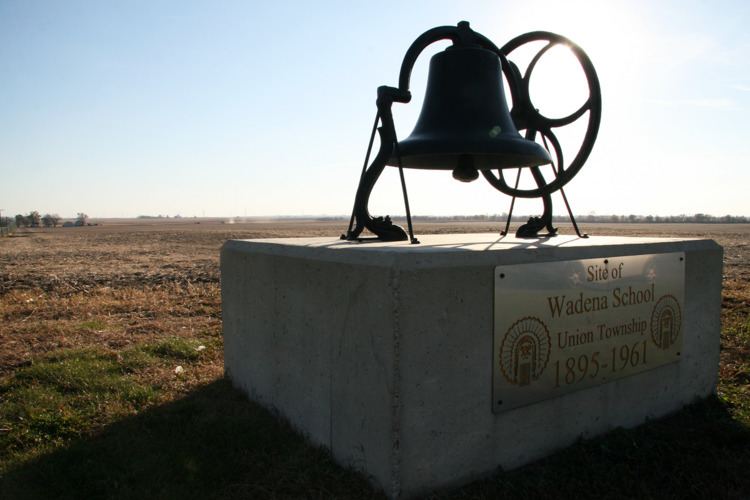
Union Township is one of eleven townships in Benton County, Indiana. As of the 2010 census, its population was 255 and it contained 106 housing units. The township was organized in June 1864 and named by John W. Nutt "because of the loyalty shown in furnishing soldiers for the Union army."
Contents
Map of Union Township, IN, USA
Geography
According to the 2010 census, the township has a total area of 35.77 square miles (92.6 km2), of which 35.76 square miles (92.6 km2) (or 99.97%) is land and 0.01 square miles (0.026 km2) (or 0.03%) is water.
Unincorporated towns
Adjacent townships
Major highways
References
Union Township, Benton County, Indiana Wikipedia(Text) CC BY-SA