
Country United States Time zone EST (UTC-5) Elevation 238 m Local time Wednesday 8:22 PM | Organized December 1868 FIPS code 18-63990 Area 93.03 km² Population 542 (2010) | |
 | ||
Weather 12°C, Wind E at 31 km/h, 63% Humidity | ||
Richland Township is one of eleven townships in Benton County, Indiana. As of the 2010 census, its population was 542 and it contained 267 housing units. Its name is a "reference to the rich land within its borders."
Contents
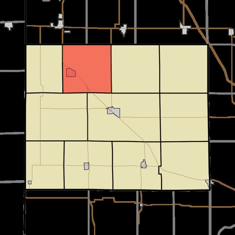
- Map of Richland Township IN USA
- Geography
- Cities and towns
- Adjacent townships
- Major highways
- Cemeteries
- References
Map of Richland Township, IN, USA
Geography
According to the 2010 census, the township has a total area of 35.92 square miles (93.0 km2), of which 35.89 square miles (93.0 km2) (or 99.92%) is land and 0.03 square miles (0.078 km2) (or 0.08%) is water.
Cities and towns
Adjacent townships
Major highways
Cemeteries
The township contains three cemeteries: Dehner, Earl Park and Saint John.
References
Richland Township, Benton County, Indiana Wikipedia(Text) CC BY-SA