
Country United States Time zone EST (UTC-5) Elevation 232 m Local time Monday 7:11 PM | Organized December 1866 FIPS code 18-27630 Area 93.08 km² Population 250 (2010) | |
 | ||
Weather -2°C, Wind NE at 16 km/h, 91% Humidity | ||
Gilboa Township is one of eleven townships in Benton County, Indiana. As of the 2010 census, its population was 250 and it contained 100 housing units. It is named for Mount Gilboa, a prominence in the southern part of the township.
Contents
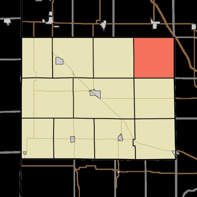
Map of Gilboa Township, IN, USA
Geography
According to the 2010 census, the township has a total area of 35.94 square miles (93.1 km2), all land.
Adjacent townships
References
Gilboa Township, Benton County, Indiana Wikipedia(Text) CC BY-SA