
Country United States Time zone EST (UTC-5) Elevation 213 m Population 1,252 (2010) Named for Simón Bolívar | Organized March 1860 FIPS code 18-06328 Area 93.5 km² Local time Monday 4:35 AM | |
 | ||
Weather 11°C, Wind S at 23 km/h, 73% Humidity | ||
Bolivar Township is one of eleven townships in Benton County, Indiana. As of the 2010 census, its population was 1,252 and it contained 548 housing units. Bolivar Township was organized in March 1860 and named for South American liberator Simón Bolivar.
Contents
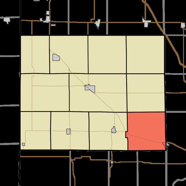
- Map of Bolivar Township IN USA
- Geography
- Cities and towns
- Unincorporated towns
- Adjacent townships
- Major highways
- Cemeteries
- Education
- References
Map of Bolivar Township, IN, USA
Geography
According to the 2010 census, the township has a total area of 36.1 square miles (93 km2), all land.
Cities and towns
Unincorporated towns
Adjacent townships
Major highways
Cemeteries
The township contains one cemetery, Griffin.
Education
References
Bolivar Township, Benton County, Indiana Wikipedia(Text) CC BY-SA