
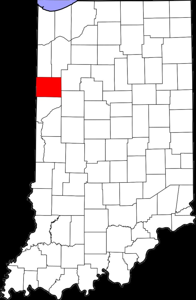
County Benton FIPS code 18-02566 Elevation 236 m Local time Tuesday 4:39 PM | State Indiana GNIS feature ID 430324 Zip code 47971 | |
 | ||
Weather 14°C, Wind S at 21 km/h, 95% Humidity | ||
Atkinson is an unincorporated town in Center Township, Benton County, Indiana. The site of Atkinson is home to the county's only junior/senior high school, Benton Central.
Contents
Map of Atkinson, IN 47944, USA
History
A post office was established at Atkinson in 1873, and remained in operation until it was discontinued in 1923. The town was named for W. J. Atkinson and served as a shipping point on the Big Four railway.
Its population in the 1920s was from 10 to 15.
Geography
Atkinson is located at 40°33′46″N 87°14′48″W on the border of Center and Oak Grove Townships. U.S. Route 52 and the Kankakee, Beaverville and Southern Railroad both pass northwest through the town.
References
Atkinson, Indiana Wikipedia(Text) CC BY-SA