
Country United States Time zone EST (UTC-5) Elevation 229 m Local time Saturday 9:16 AM Named for Ulysses S. Grant | Organized December 1868 FIPS code 18-28818 Area 93.08 km² Population 1,056 (2010) | |
 | ||
Weather 2°C, Wind W at 21 km/h, 84% Humidity | ||
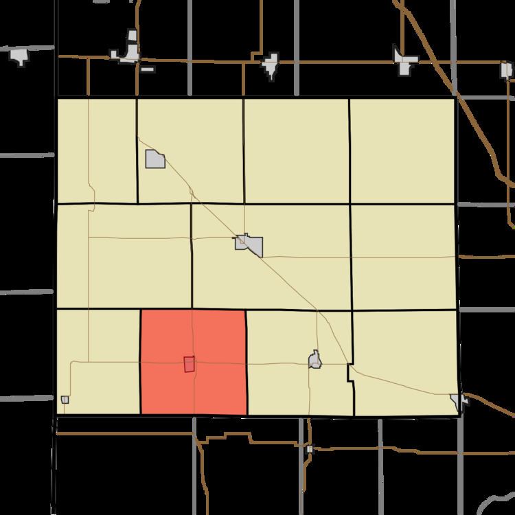
Grant Township is one of eleven townships in Benton County, Indiana. As of the 2010 census, its population was 1,056 and it contained 488 housing units. It was organized in December 1868 and was named for Ulysses Grant.
Contents
- Map of Grant Township IN USA
- Geography
- Cities and towns
- Unincorporated towns
- Adjacent townships
- Major highways
- Cemeteries
- Education
- References
Map of Grant Township, IN, USA
Geography
According to the 2010 census, the township has a total area of 35.94 square miles (93.1 km2), of which 35.93 square miles (93.1 km2) (or 99.97%) is land and 0.01 square miles (0.026 km2) (or 0.03%) is water.
Cities and towns
Unincorporated towns
Adjacent townships
Major highways
Cemeteries
The township contains three cemeteries: Boswell, Perigo and Smith.
Education
References
Grant Township, Benton County, Indiana Wikipedia(Text) CC BY-SA