
Time zone CST (UTC-6) Area 94.41 km² Population 265 (2010) | Established November 4, 1856 Elevation 232 m Local time Tuesday 1:59 AM | |
 | ||
ZIP codes 61235, 61238, 61434, 61443 Weather 11°C, Wind W at 24 km/h, 85% Humidity | ||
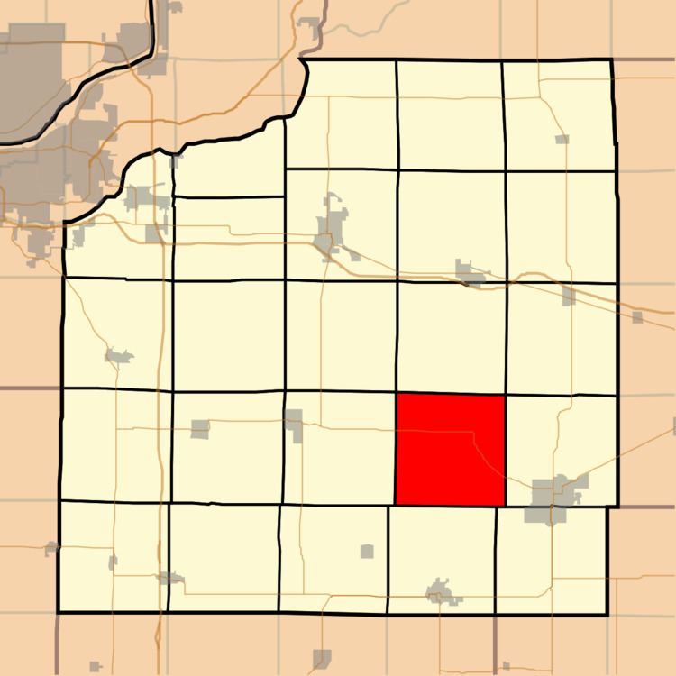
Burns Township is one of twenty-four townships in Henry County, Illinois, USA. As of the 2010 census, its population was 265 and it contained 130 housing units.
Contents
- Map of Burns Township IL USA
- Geography
- Unincorporated towns
- Adjacent townships
- Cemeteries
- Major highways
- School districts
- Political districts
- References
Map of Burns Township, IL, USA
Geography
According to the 2010 census, the township has a total area of 36.45 square miles (94.4 km2), all land.
Unincorporated towns
(This list is based on USGS data and may include former settlements.)
Adjacent townships
Cemeteries
The township contains these two cemeteries: Cosner and Mount Zion.
Major highways
School districts
Political districts
References
Burns Township, Henry County, Illinois Wikipedia(Text) CC BY-SA