
Time zone CST (UTC-6) Elevation 250 m Population 3,935 (2010) | Established November 4, 1856 ZIP codes 61434, 61443 Area 92.13 km² Local time Saturday 9:33 AM | |
 | ||
Weather 7°C, Wind NW at 8 km/h, 80% Humidity | ||
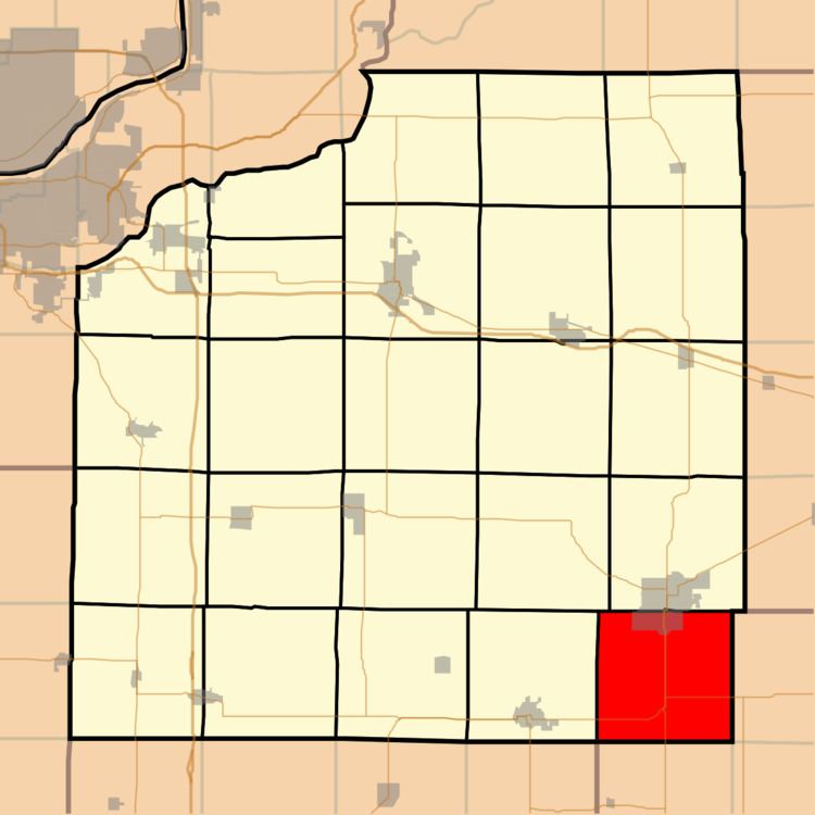
Wethersfield Township is one of twenty-four townships in Henry County, Illinois, USA. As of the 2010 census, its population was 3,935 and it contained 1,827 housing units.
Contents
- Map of Wethersfield Township IL USA
- Geography
- Cities towns villages
- Extinct towns
- Adjacent townships
- Cemeteries
- Major highways
- Airports and landing strips
- Landmarks
- School districts
- Political districts
- References
Map of Wethersfield Township, IL, USA
Geography
According to the 2010 census, the township has a total area of 35.57 square miles (92.1 km2), all land.
Cities, towns, villages
Extinct towns
(These towns are listed as "historical" by the USGS.)
Adjacent townships
Cemeteries
The township contains these four cemeteries: Cavanagh, Evergreen Memory Garden, Saxon and Wethersfield.
Major highways
Airports and landing strips
Landmarks
School districts
Political districts
References
Wethersfield Township, Henry County, Illinois Wikipedia(Text) CC BY-SA