
Time zone CST (UTC-6) Elevation 217 m Local time Tuesday 1:16 AM | Established November 4, 1856 ZIP codes 61238, 61434 Area 95.7 km² Population 2,525 (2010) | |
 | ||
Weather 11°C, Wind SW at 27 km/h, 85% Humidity | ||
Cambridge Township is one of twenty-four townships in Henry County, Illinois, USA. As of the 2010 census, its population was 2,525 and it contained 1,070 housing units.
Contents
- Map of Cambridge Township IL USA
- Geography
- Cities towns villages
- Unincorporated towns
- Adjacent townships
- Cemeteries
- Major highways
- School districts
- Political districts
- References
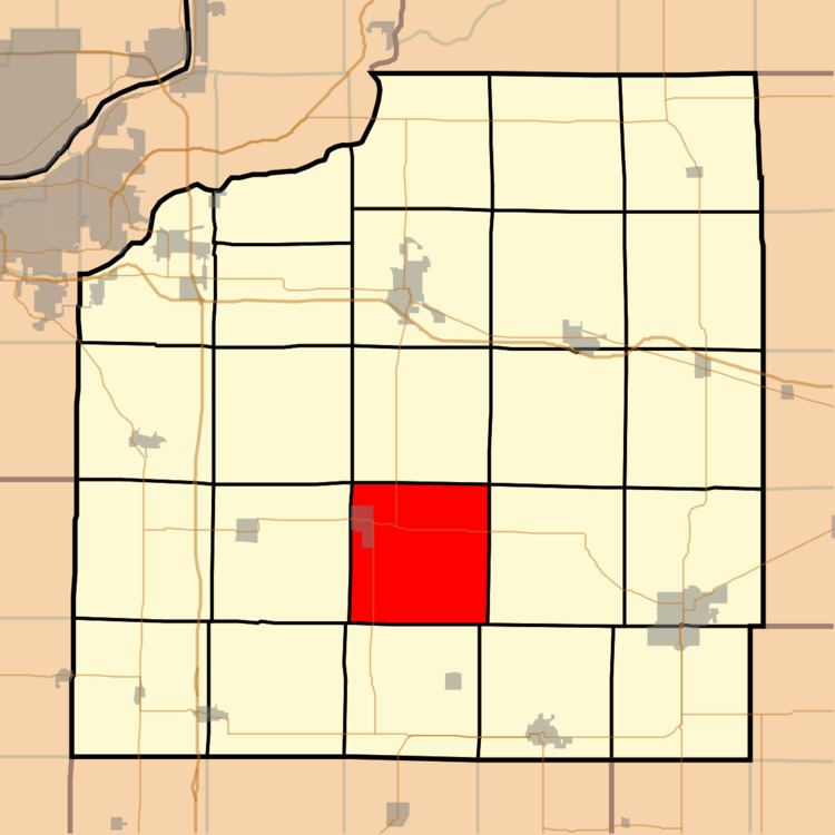
Map of Cambridge Township, IL, USA
Geography
According to the 2010 census, the township has a total area of 36.95 square miles (95.7 km2), of which 36.94 square miles (95.7 km2) (or 99.97%) is land and 0.02 square miles (0.052 km2) (or 0.05%) is water.
Cities, towns, villages
Unincorporated towns
(This list is based on USGS data and may include former settlements.)
Adjacent townships
Cemeteries
The township contains these two cemeteries: McNay and Talbot.
Major highways
School districts
Political districts
References
Cambridge Township, Henry County, Illinois Wikipedia(Text) CC BY-SA