
Time zone CST (UTC-6) Elevation 226 m Local time Tuesday 2:29 PM | Established November 4, 1856 ZIP codes 61235, 61238, 61254 Area 93.08 km² Population 400 (2010) | |
 | ||
Weather 8°C, Wind NW at 19 km/h, 46% Humidity | ||
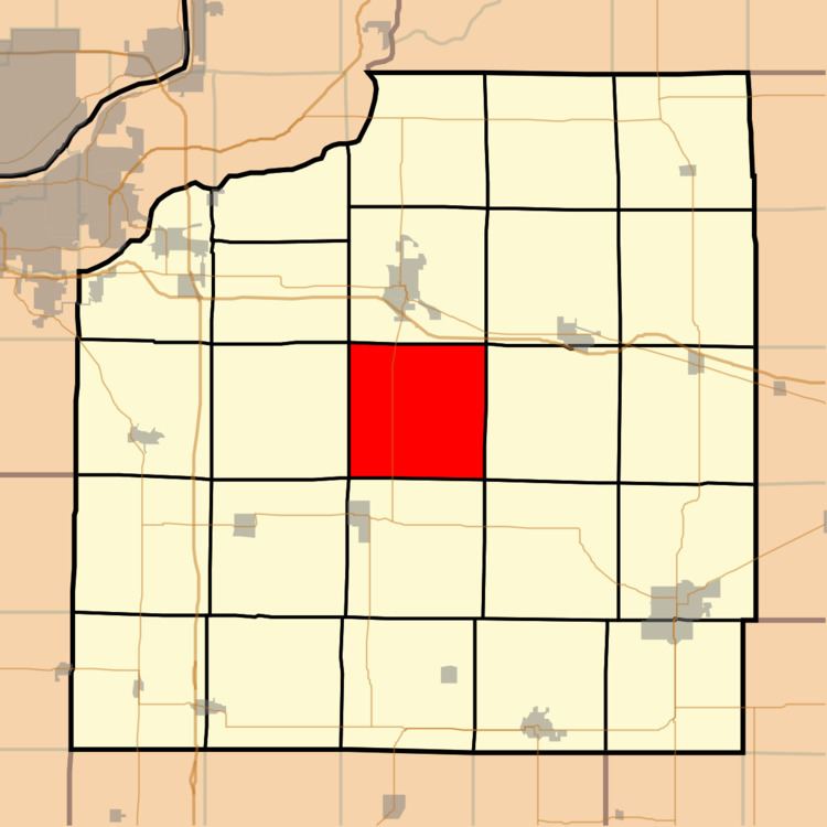
Munson Township is one of twenty-four townships in Henry County, Illinois, USA. As of the 2010 census, its population was 400 and it contained 132 housing units. Munson changed its name from Centre township on April 13, 1857.
Contents
- Map of Munson Township IL USA
- Geography
- Adjacent townships
- Cemeteries
- Major highways
- School districts
- Political districts
- References
Map of Munson Township, IL, USA
Geography
According to the 2010 census, the township has a total area of 35.94 square miles (93.1 km2), all land.
Adjacent townships
Cemeteries
The township contains these two cemeteries: Greenlee and Munson.
Major highways
School districts
Political districts
References
Munson Township, Henry County, Illinois Wikipedia(Text) CC BY-SA