
Time zone CST (UTC-6) Elevation 225 m Local time Sunday 1:33 PM Population 10,162 (2010) | Established November 4, 1856 GNIS feature ID 0429206 Area 93.71 km² Zip code 61443 | |
 | ||
Weather 1°C, Wind S at 8 km/h, 30% Humidity | ||
Kewanee Township is one of twenty-four townships in Henry County, Illinois, USA. As of the 2010 census, its population was 10,162 and it contained 4,608 housing units.
Contents
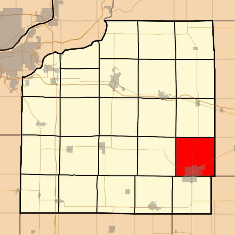
- Map of Kewanee Township IL 61443 USA
- Geography
- Cities towns villages
- Adjacent townships
- Cemeteries
- Major highways
- Airports and landing strips
- Landmarks
- School districts
- Political districts
- References
Map of Kewanee Township, IL 61443, USA
Geography
According to the 2010 census, the township has a total area of 36.18 square miles (93.7 km2), of which 36.16 square miles (93.7 km2) (or 99.94%) is land and 0.02 square miles (0.052 km2) (or 0.06%) is water.
Cities, towns, villages
Adjacent townships
Cemeteries
The township contains these eight cemeteries: Garden of Peace, Mount Olivet, Old Kewanee Public, Orthodox, Pace, Pleasant View, Saint Michael and South Pleasant View.
Major highways
Airports and landing strips
Landmarks
School districts
Political districts
References
Kewanee Township, Henry County, Illinois Wikipedia(Text) CC BY-SA