
Existed: 1924 – present Length 41.49 km | Constructed 1924 | |
 | ||
Illinois Route 81 is an east–west state road in northwest Illinois. It runs from U.S. Route 150 by unincorporated Lynn Center to Illinois Route 78 (Main Street) in Kewanee. This is a distance of 25.78 miles (41.49 km).
Contents
Map of IL-81, Illinois, USA
Route description
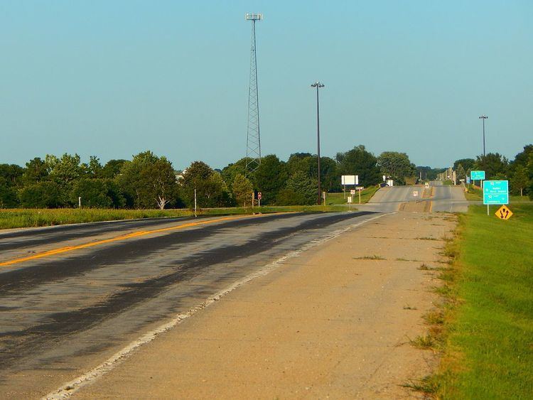
In Kewanee, Illinois 81 is 6th Street. It is not that far away from U.S. Route 34, which is 2nd street. In addition to Kewanee, Illinois 81 also serves Andover and Cambridge.
History
SBI Route 81 was established as Lynn Center to Kewanee. The routing of Illinois 81 has not changed since it was established.
Major intersections
The entire route is in Henry County.
References
Illinois Route 81 Wikipedia(Text) CC BY-SA