
GNIS feature ID 0467489 Elevation 367 m Local time Friday 5:33 PM | Time zone CST (UTC-6) Area 91.79 km² Zip code 50423 Population 2,293 (2000) | |
 | ||
Weather -1°C, Wind SE at 21 km/h, 68% Humidity | ||
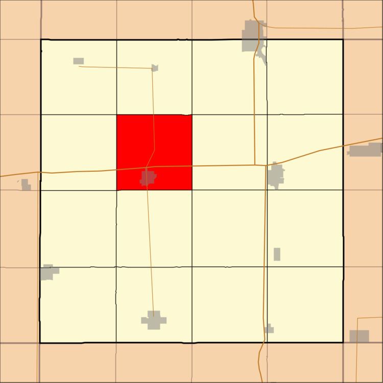
Britt Township is one of sixteen townships in Hancock County, Iowa, USA. As of the 2000 census, its population was 2,293.
Contents
- Map of Britt IA 50423 USA
- History
- Geography
- Cities towns villages
- Adjacent townships
- Cemeteries
- Major highways
- Landmarks
- School districts
- Political districts
- References
Map of Britt, IA 50423, USA
History
Britt Township was founded in 1873.
Geography
According to the United States Census Bureau, Britt Township covers an area of 35.44 square miles (91.79 square kilometers); of this, 35.11 square miles (90.94 square kilometers, 99.07 percent) is land and 0.33 square miles (0.85 square kilometers, 0.93 percent) is water.
Cities, towns, villages
Adjacent townships
Cemeteries
The township contains Evergreen Cemetery.
Major highways
Landmarks
School districts
Political districts
References
Britt Township, Hancock County, Iowa Wikipedia(Text) CC BY-SA