
County Hancock ZIP codes 50423, 50438, 50449 Elevation 375 m Local time Thursday 9:35 PM | Time zone CST (UTC-6) GNIS feature ID 0468218 Area 93.6 km² Population 276 (2000) | |
 | ||
Weather 1°C, Wind SE at 31 km/h, 75% Humidity | ||
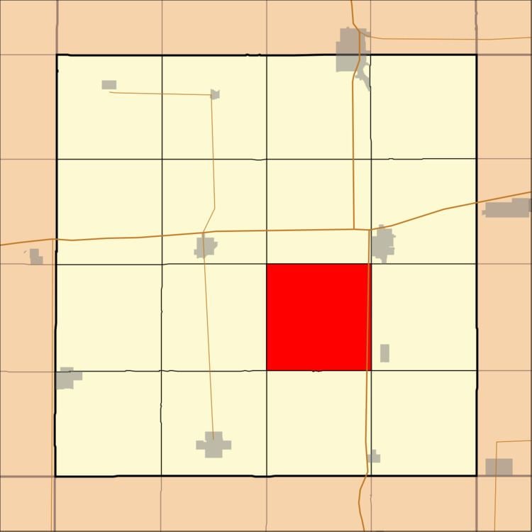
Liberty Township is one of sixteen townships in Hancock County, Iowa, USA. As of the 2000 census, its population was 276.
Contents
- Map of Liberty IA USA
- History
- Geography
- Adjacent townships
- Cemeteries
- Major highways
- School districts
- Political districts
- References
Map of Liberty, IA, USA
History
Liberty Township was originally called German Township, and under the latter name was organized in 1878. It was originally settled chiefly by Germans, hence its former name.
In the 20th century, German Township was renamed Liberty Township due to Anti-German sentiment during World War I.
Geography
According to the United States Census Bureau, Liberty Township covers an area of 36.14 square miles (93.61 square kilometers); of this, 36.09 square miles (93.48 square kilometers, 99.86 percent) is land and 0.05 square miles (0.13 square kilometers, 0.14 percent) is water.
Adjacent townships
Cemeteries
The township contains Liberty Cemetery.
Major highways
School districts
Political districts
References
Liberty Township, Hancock County, Iowa Wikipedia(Text) CC BY-SA