
GNIS feature ID 0467475 Area 94.48 km² Population 227 (2000) | Time zone CST (UTC-6) Elevation 359 m Local time Monday 4:26 PM | |
 | ||
ZIP codes 50423, 50430, 50447, 50483 Weather 22°C, Wind S at 42 km/h, 58% Humidity | ||
Boone Township is one of sixteen townships in Hancock County, Iowa, USA. As of the 2000 census, its population was 227.
Contents
- Map of Boone IA USA
- History
- Geography
- Cities towns villages
- Unincorporated towns
- Adjacent townships
- Cemeteries
- Airports and landing strips
- School districts
- Political districts
- References
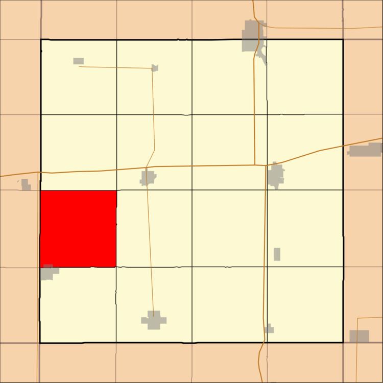
Map of Boone, IA, USA
History
Boone Township was organized in 1880.
Geography
According to the United States Census Bureau, Boone Township covers an area of 36.48 square miles (94.48 square kilometers).
Cities, towns, villages
Unincorporated towns
(This list is based on USGS data and may include former settlements.)
Adjacent townships
Cemeteries
The township contains Boone Township Cemetery.
Airports and landing strips
School districts
Political districts
References
Boone Township, Hancock County, Iowa Wikipedia(Text) CC BY-SA