
GNIS feature ID 0467454 Area 91.58 km² Population 487 (2000) | Time zone CST (UTC-6) Elevation 381 m Local time Wednesday 9:17 PM | |
 | ||
ZIP codes 50423, 50480, 50483, 50484 Weather -3°C, Wind NW at 26 km/h, 79% Humidity | ||
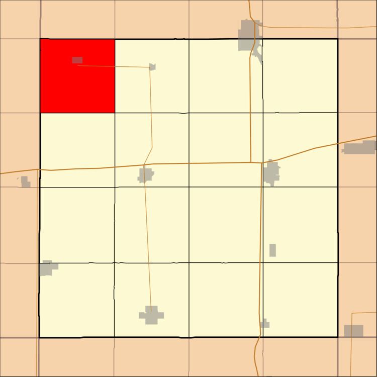
Bingham Township is one of sixteen townships in Hancock County, Iowa, USA. As of the 2000 census, its population was 487.
Contents
- Map of Bingham IA USA
- History
- Geography
- Cities towns villages
- Adjacent townships
- Cemeteries
- Major highways
- School districts
- Political districts
- References
Map of Bingham, IA, USA
History
Bingham Township was organized in 1878. Bingham is the name of John Bingham, a pioneer settler, and native of England.
Geography
According to the United States Census Bureau, Bingham Township covers an area of 35.36 square miles (91.58 square kilometers); of this, 35.28 square miles (91.38 square kilometers, 99.78 percent) is land and 0.08 square miles (0.2 square kilometers, 0.22 percent) is water.
Cities, towns, villages
Adjacent townships
Cemeteries
The township contains these three cemeteries: Bingham Township, Christian Reformed and Immanuel Lutheran Church.
Major highways
School districts
Political districts
References
Bingham Township, Hancock County, Iowa Wikipedia(Text) CC BY-SA