
ZIP codes 50423, 50447 Elevation 362 m Local time Sunday 6:10 AM | Time zone CST (UTC-6) GNIS feature ID 0467797 Area 94.19 km² Population 218 (2000) | |
 | ||
Weather -10°C, Wind E at 2 km/h, 68% Humidity | ||
Erin Township is one of sixteen townships in Hancock County, Iowa, USA. As of the 2000 census its population was 218.
Contents
- Map of Erin IA USA
- History
- Geography
- Adjacent townships
- Cemeteries
- Major highways
- School districts
- Political districts
- References
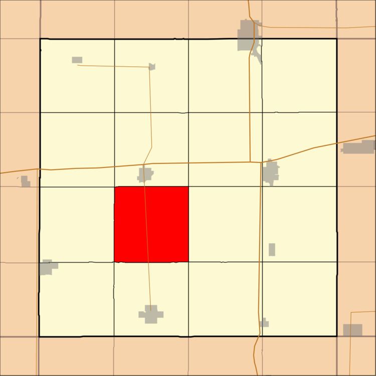
Map of Erin, IA, USA
History
Erin Township was organized in 1879. It was originally settled chiefly by Irish immigrants, who named it Erin, the poetic form of Ireland.
Geography
According to the United States Census Bureau, Erin Township covers an area of 36.37 square miles (94.19 square kilometers).
Adjacent townships
Cemeteries
The township contains Saint Patrick's Cemetery.
Major highways
School districts
Political districts
References
Erin Township, Hancock County, Iowa Wikipedia(Text) CC BY-SA