
ZIP codes 50423, 50432, 50436 Elevation 396 m Local time Sunday 10:16 PM | Time zone CST (UTC-6) GNIS feature ID 0467668 Area 91.9 km² Population 529 (2000) | |
 | ||
Weather 10°C, Wind SE at 23 km/h, 91% Humidity | ||
Crystal Township is one of sixteen townships in Hancock County, Iowa, USA. As of the 2000 census, its population was 529.
Contents
- Map of Crystal IA USA
- History
- Geography
- Cities towns villages
- Adjacent townships
- Cemeteries
- Major highways
- Airports and landing strips
- Lakes
- Landmarks
- School districts
- Political districts
- References
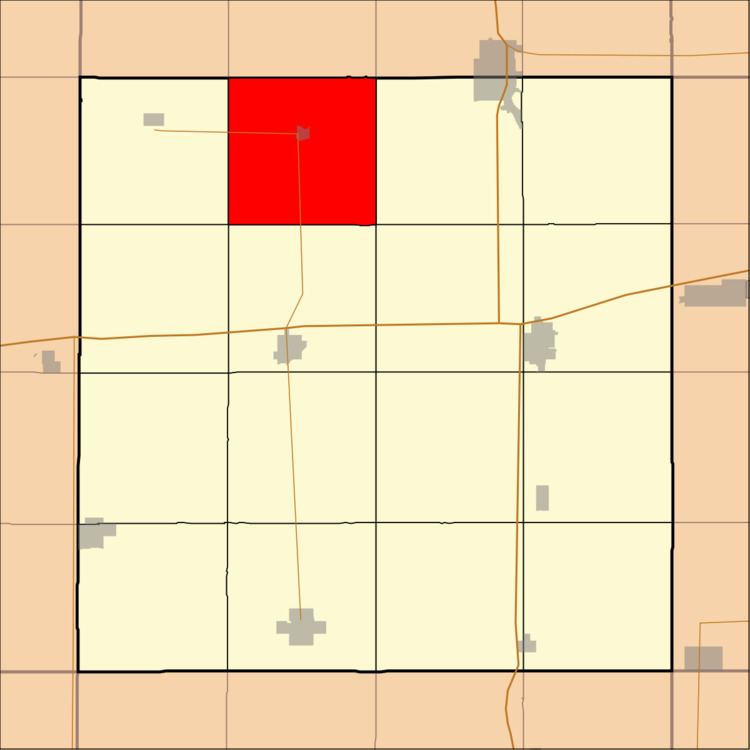
Map of Crystal, IA, USA
History
Crystal Township was founded in 1869. The township was named from Crystal Lake.
Geography
According to the United States Census Bureau, Crystal Township covers an area of 35.5 square miles (91.96 square kilometers); of this, 35.11 square miles (90.93 square kilometers, 98.88 percent) is land and 0.4 square miles (1.03 square kilometers, 1.12 percent) is water.
Cities, towns, villages
Adjacent townships
Cemeteries
The township contains Crystal Township Cemetery.
Major highways
Airports and landing strips
Lakes
Landmarks
School districts
Political districts
References
Crystal Township, Hancock County, Iowa Wikipedia(Text) CC BY-SA