
ZIP codes 50423, 50483 Elevation 381 m Local time Sunday 11:44 PM | Time zone CST (UTC-6) GNIS feature ID 0468475 Area 92.82 km² Population 247 (2000) | |
 | ||
Weather 4°C, Wind NW at 6 km/h, 98% Humidity | ||
Orthel Township is one of sixteen townships in Hancock County, Iowa, USA. As of the 2000 census, its population was 247.
Contents
- Map of Orthel IA USA
- History
- Geography
- Unincorporated towns
- Adjacent townships
- Cemeteries
- Major highways
- Airports and landing strips
- School districts
- Political districts
- References
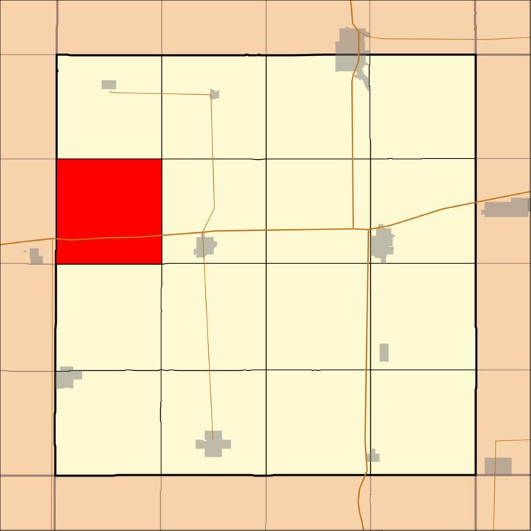
Map of Orthel, IA, USA
History
Orthel Township was founded in 1882.
Geography
According to the United States Census Bureau, Orthel Township covers an area of 35.84 square miles (92.82 square kilometers); of this, 35.77 square miles (92.64 square kilometers, 99.81 percent) is land and 0.07 square miles (0.17 square kilometers, 0.18 percent) is water.
Unincorporated towns
(This list is based on USGS data and may include former settlements.)
Adjacent townships
Cemeteries
The township contains Orthel Township Cemetery.
Major highways
Airports and landing strips
School districts
Political districts
References
Orthel Township, Hancock County, Iowa Wikipedia(Text) CC BY-SA