
Country United States GNIS feature ID 453074 Local time Thursday 1:01 AM | FIPS code 18-00316 Elevation 213 m Population 516 (2010) | |
 | ||
Weather 1°C, Wind NW at 27 km/h, 74% Humidity Area 67.31 km² (66.49 km² Land / 83 ha Water) | ||
Adams Township is one of fourteen townships in Carroll County, Indiana. As of the 2010 census, its population was 516 and it contained 209 housing units.
Contents
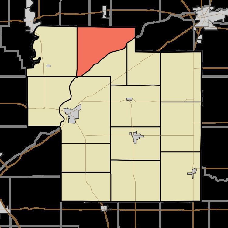
- Map of Adams Township IN USA
- History
- Geography
- Unincorporated towns
- Adjacent townships
- Cemeteries
- References
Map of Adams Township, IN, USA
History
Adams Township was organized in 1828.
The Burris House and Potawatomi Spring, Carrollton Bridge, and Wabash and Erie Canal Culvert No. 100 are listed on the National Register of Historic Places.
Geography
According to the 2010 census, the township has a total area of 25.99 square miles (67.3 km2), of which 25.67 square miles (66.5 km2) (or 98.77%) is land and 0.32 square miles (0.83 km2) (or 1.23%) is water.
Unincorporated towns
Adjacent townships
Cemeteries
The township contains three cemeteries: Great Eastern, Johnson City and Seceder.
References
Adams Township, Carroll County, Indiana Wikipedia(Text) CC BY-SA