
Country United States GNIS feature ID 453550 Local time Thursday 10:31 PM | FIPS code 18-43200 Elevation 213 m Population 440 (2010) | |
 | ||
Weather -2°C, Wind SE at 8 km/h, 77% Humidity Area 45.25 km² (45.09 km² Land / 13 ha Water) | ||
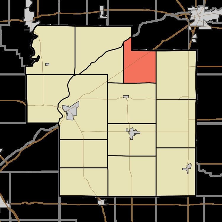
Liberty Township is one of fourteen townships in Carroll County, Indiana. As of the 2010 census, its population was 440 and it contained 195 housing units.
Contents
- Map of Liberty Township IN USA
- Geography
- Unincorporated towns
- Adjacent townships
- Major highways
- Cemeteries
- References
Map of Liberty Township, IN, USA
Geography
According to the 2010 census, the township has a total area of 17.47 square miles (45.2 km2), of which 17.41 square miles (45.1 km2) (or 99.66%) is land and 0.05 square miles (0.13 km2) (or 0.29%) is water.
Unincorporated towns
Adjacent townships
Major highways
Cemeteries
The township contains two cemeteries, Burrows and Woodville.
References
Liberty Township, Carroll County, Indiana Wikipedia(Text) CC BY-SA