
Country United States GNIS feature ID 453480 Local time Friday 2:11 PM | FIPS code 18-37872 Elevation 205 m Population 2,162 (2010) | |
 | ||
Weather 2°C, Wind N at 37 km/h, 30% Humidity Area 82.1 km² (79.43 km² Land / 2.668 km² Water) | ||
Jefferson Township is one of fourteen townships in Carroll County, Indiana. As of the 2010 census, its population was 2,162 and it contained 1,658 housing units.
Contents
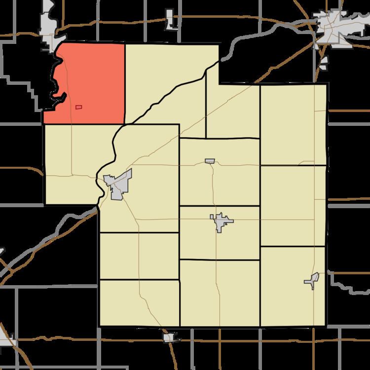
- Map of Jefferson Township IN USA
- History
- Geography
- Cities and towns
- Unincorporated towns
- Adjacent townships
- Major highways
- Cemeteries
- References
Map of Jefferson Township, IN, USA
History
Jefferson Township was organized in 1836.
Geography
According to the 2010 census, the township has a total area of 31.7 square miles (82 km2), of which 30.67 square miles (79.4 km2) (or 96.75%) is land and 1.03 square miles (2.7 km2) (or 3.25%) is water.
Cities and towns
Unincorporated towns
(This list is based on USGS data and may include former settlements.)
Adjacent townships
Major highways
Cemeteries
The township contains two cemeteries: Schock and Yeoman.
References
Jefferson Township, Carroll County, Indiana Wikipedia(Text) CC BY-SA