
Country United States GNIS feature ID 453894 Local time Saturday 12:35 PM | FIPS code 18-75824 Elevation 198 m Population 2,341 (2010) | |
 | ||
Weather 9°C, Wind N at 11 km/h, 65% Humidity Area 72.55 km² (70.47 km² Land / 207 ha Water) | ||
Tippecanoe Township is one of fourteen townships in Carroll County, Indiana. As of the 2010 census, its population was 2,341 and it contained 1,186 housing units.
Contents
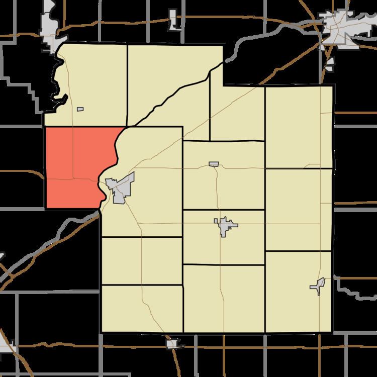
- Map of Tippecanoe Township IN USA
- History
- Geography
- Unincorporated towns
- Adjacent townships
- Major highways
- Cemeteries
- References
Map of Tippecanoe Township, IN, USA
History
Tippecanoe Township was organized in 1830.
Carrollton Bridge was listed on the National Register of Historic Places in 2003.
Geography
According to the 2010 census, the township has a total area of 28.01 square miles (72.5 km2), of which 27.21 square miles (70.5 km2) (or 97.14%) is land and 0.8 square miles (2.1 km2) (or 2.86%) is water.
Unincorporated towns
Adjacent townships
Major highways
Cemeteries
The township contains two cemeteries: Benham and Pleasant Run.
References
Tippecanoe Township, Carroll County, Indiana Wikipedia(Text) CC BY-SA