
Country United States GNIS feature ID 453229 Local time Tuesday 4:14 AM | FIPS code 18-13690 Elevation 220 m Population 816 (2010) | |
 | ||
Weather 16°C, Wind SW at 47 km/h, 73% Humidity Area 65.09 km² (64.1 km² Land / 98 ha Water) | ||
Clinton Township is one of fourteen townships in Cass County, Indiana. As of the 2010 census, its population was 816.
Contents
- Map of Clinton Township IN 46947 USA
- History
- Geography
- Cities and towns
- Unincorporated towns
- Adjacent townships
- Major highways
- Cemeteries
- References
Map of Clinton Township, IN 46947, USA
History
Clinton Township was organized in 1834. It was named for DeWitt Clinton, sixth Governor of New York.
Geography
According to the 2010 census, the township has a total area of 25.13 square miles (65.1 km2), of which 24.75 square miles (64.1 km2) (or 98.49%) is land and 0.38 square miles (0.98 km2) (or 1.51%) is water.
Cities and towns
Unincorporated towns
Adjacent townships
Major highways
Cemeteries
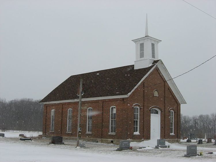
The township contains four cemeteries: Clymers, Porter, Saint Johns and Shideler.
References
Clinton Township, Cass County, Indiana Wikipedia(Text) CC BY-SA