
Country United States GNIS feature ID 453475 Area 40.4 km² Population 655 (2010) | ZIP codes 47926, 47950 Elevation 218 m Local time Friday 11:02 PM | |
 | ||
Weather 6°C, Wind SW at 13 km/h, 93% Humidity | ||
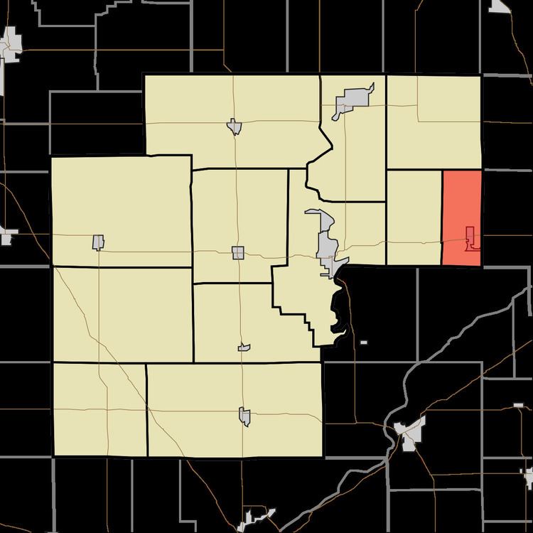
Jackson Township is one of twelve townships in White County, Indiana, United States. As of the 2010 census, its population was 655 and it contained 291 housing units.
Contents
- Map of Jackson Township IN USA
- Geography
- Cities towns villages
- Adjacent townships
- School districts
- Political districts
- References
Map of Jackson Township, IN, USA
Jackson Township was established in 1843.
Geography
According to the 2010 census, the township has a total area of 15.6 square miles (40 km2), all land.
Cities, towns, villages
Adjacent townships
School districts
Political districts
References
Jackson Township, White County, Indiana Wikipedia(Text) CC BY-SA