
Country United States GNIS feature ID 453809 Local time Monday 7:23 PM | State Indiana FIPS code 18-65268 Elevation 197 m Population 475 (2010) | |
 | ||
Weather 9°C, Wind NE at 2 km/h, 92% Humidity Area 35.72 km² (34.96 km² Land / 75 ha Water) | ||
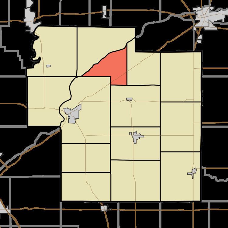
Rock Creek Township is one of fourteen townships in Carroll County, Indiana. As of the 2010 census, its population was 475 and it contained 185 housing units.
Contents
- Map of Rock Creek Township IN 46923 USA
- History
- Geography
- Unincorporated towns
- Adjacent townships
- Major highways
- Cemeteries
- References
Map of Rock Creek Township, IN 46923, USA
History
Rock Creek Township was organized in 1828.
District School No. 3 at Rockfield was listed on the National Register of Historic Places in 1988.
Geography
According to the 2010 census, the township has a total area of 13.79 square miles (35.7 km2), of which 13.5 square miles (35 km2) (or 97.90%) is land and 0.29 square miles (0.75 km2) (or 2.10%) is water.
Unincorporated towns
Adjacent townships
Major highways
Cemeteries
The township contains four cemeteries: Brown, Independent Order of Odd Fellows, Mullendore and Parks.
References
Rock Creek Township, Carroll County, Indiana Wikipedia(Text) CC BY-SA