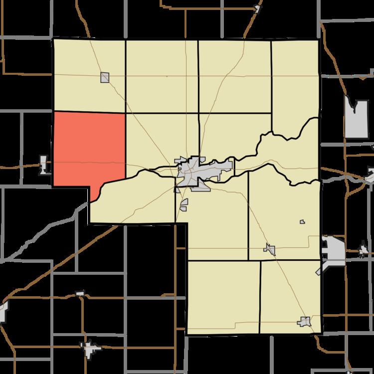
Country United States GNIS feature ID 453481 Local time Friday 2:11 PM | State Indiana FIPS code 18-37890 Elevation 216 m Population 1,452 (2010) | |
 | ||
Weather 2°C, Wind NW at 27 km/h, 35% Humidity Area 93.5 km² (92.62 km² Land / 91 ha Water) | ||
Jefferson Township is one of fourteen townships in Cass County, Indiana. As of the 2010 census, its population was 1,452.
Contents
- Map of Jefferson Township IN USA
- History
- Geography
- Unincorporated towns
- Adjacent townships
- Major highways
- Cemeteries
- References
Map of Jefferson Township, IN, USA
History
Jefferson Township was organized in 1831. It was named for Thomas Jefferson, third President of the United States.
Geography
Jefferson Township covers an area of 36.1 square miles (93 km2); 0.35 square miles (0.91 km2) (0.97 percent) of this is water. Lake Cicott is in this township.
Unincorporated towns
Adjacent townships
Major highways
Cemeteries
The township contains two cemeteries: Davis and Zion. Davis Cemetery is located a mile east of Burnettsville and a half mile east of the White County-Cass county line, and is commonly referred to as the Davis Cemetery Burnettsville in obituaries. It was also known as the Winegardner Cemetery.
References
Jefferson Township, Cass County, Indiana Wikipedia(Text) CC BY-SA
