Suvarna Garge (Editor)

Wimmera Highway

Updated on
Edit
Like
Comment
Share on FacebookTweet on TwitterShare on LinkedInShare on Reddit
Type
  
Highway

Length
  
345 km

Former route number
  
State Route 130

Wimmera Highway

Route number(s)
  
B240 (Marong-Vic/SA Border) C240 (Vic/SA Border-Naracoorte)

East end
  
Calder Highway, Marong, Victoria

West end
  
Riddoch Highway, Naracoorte, South Australia

Major cities
  
Horsham, Apsley, Edenhope, Saint Arnaud, Natimuk, Murtoa, Rupanyup, Moliagul

Via
  
Newbridge, Victoria, Moliagul, Saint Arnaud, Rupanyup, Murtoa, Horsham, Natimuk, Edenhope, Apsley

Major settlements
  
Newbridge, Victoria, Moliagul, Saint Arnaud, Rupanyup, Murtoa, Horsham, Natimuk, Edenhope, Apsley

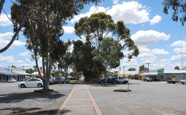
Wimmera Highway is a 345 kilometre highway that connects the towns of Marong, Victoria and Naracoorte, South Australia, through the major junctions of Sunraysia Highway, Henty Highway and Western Highway.

Map of Wimmera Hwy, Australia

References

Wimmera Highway Wikipedia