
Type Highway | Route number(s) B220 Length 344 km | |
 | ||
Major settlements Birchip, Donald, Saint Arnaud, Avoca | ||
292 sunraysia highway miners rest
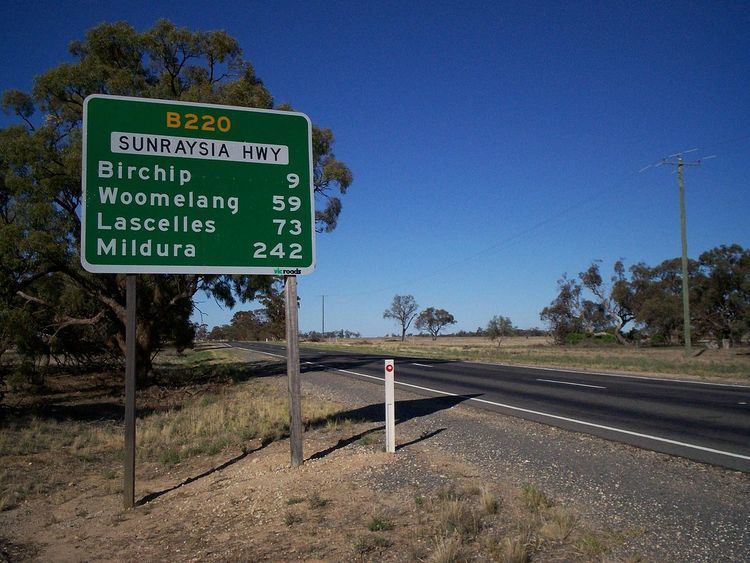
The Sunraysia Highway (B220) is a 344 kilometres (214 mi) arterial north-south route in western Victoria. The highway extends north a length of 331 km starting from the Western Freeway near Ballarat to the Calder Highway near Ouyen. It is the north-west arterial road, linking Ballarat and Ouyen. (It serves as a secondary 'A' class route Calder Highway).
Contents
- 292 sunraysia highway miners rest
- Map of Sunraysia Hwy Victoria Australia
- Apex park playground sunraysia highway st arnaud
- Towns
- References
Map of Sunraysia Hwy, Victoria, Australia
The Sunraysia Highway runs parallel to the Calder Highway,the primary route between Melbourne and Mildura providing an alternative route via Ballarat. The highway was known as the North-Western Highway until the 1960s, when the present name was adopted.
The Sunraysia Highway serves a number of important industries in the region such as agriculture, viticulture, food processing, winemaking and tourism. It forms an important link for these industries to markets and ports in the south of Victoria and South Australia.
The Sunraysia Highway, B220, is a two-lane, two-way road with mainly unsealed but still providing shoulders and has no overtaking lanes provided along the highway, as it is designated as a ‘B’ road for its full length.