
Population 976 (2011 census) Postal code 3318 | Postcode(s) 3318 Local time Saturday 6:32 PM | |
 | ||
Location 396 km (246 mi) W of Melbourne387 km (240 mi) SE of Adelaide95 km (59 mi) SW of Horsham, Victoria53 km (33 mi) E of Naracoorte Weather 21°C, Wind SE at 10 km/h, 68% Humidity | ||
Edenhope is a town in Victoria, Australia. It is located on the Wimmera Highway, 30 kilometres from the South Australian border, in the Shire of West Wimmera local government area. At the 2011 census Edenhope had a population of 976.
Map of Edenhope VIC 3318, Australia
The township of Edenhope was established some years later than nearby Apsley, the Post Office opening on 16 July 1864.
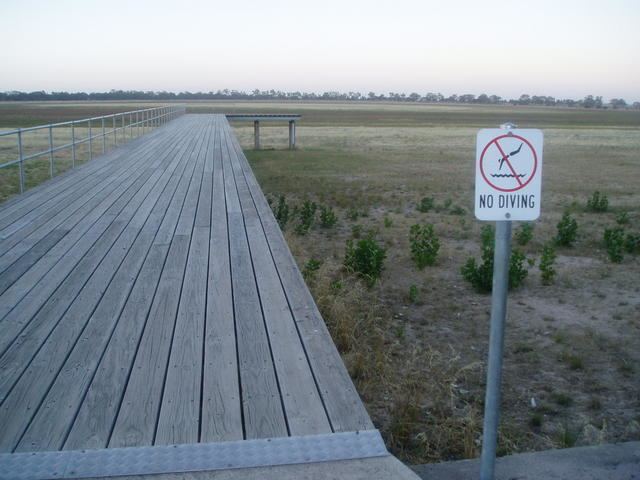
The town sits on the shores of Lake Wallace, which is home to abundant waterbirds, and is a popular fishing and water sports destination. Lake Wallace is now filling again after the Australian drought, and the waterbird population is slowly increasing. On Lake Street in the grounds of the Secondary College, there is a cairn commemorating the first all-Aboriginal cricket team to go to England.
Edenhope has a horse racing club, the Edenhope Racing Club, which holds the Edenhope Cup meeting on the Labour Day weekend in March. The Apsley Racing Club also hold their Cup meeting there in April.
Golfers play at the course of the Edenhope Golf Club on Laidlaw Avenue.
Edenhope hosts Henley on Lake Wallace on the second Saturday in February.