
Type Highway | Length 239 km | |
 | ||
Major settlements Padthaway, Naracoorte, Coonawarra, Penola, Tarpeena, Mount Gambier | ||
The Riddoch Highway in south-eastern South Australia branches from the Dukes Highway at Keith and travels south through Padthaway, Naracoorte, Penola, Nangwarry, Tarpeena, and Mount Gambier to Port MacDonnell and nearby Cape Northumberland.
Map of Riddoch Hwy, South Australia, Australia
The highway has been designated as State Route A66 between Keith and Mount Gambier. The remainder, between Mount Gambier and Port MacDonnell has been labelled State Route B66, although this is not officially known as the Riddoch Highway.
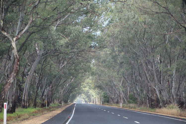
It passes through grazing and cereal-growing land, horticultural and vineyards (within the following wine regions - Padthaway, Wrattonbully, Coonawarra and Mount Gambier), and plantation timber, predominantly pinus radiata.
The Royal Automobile Association of South Australia has rated the highway at 5/10.
The Riddoch Highway is named after John Riddoch, the first white settler landholder and vigneron in Coonawarra.