Rahul Sharma (Editor)

Henty Highway

Updated on
Edit
Like
Comment
Share on FacebookTweet on TwitterShare on LinkedInShare on Reddit
Type
  
Highway

Length
  
360 km

Henty Highway

Route number(s)
  
B200 (1998-present, Lascelles-Horsham) A200 (1998-present, Horsham-Portland)

Former route number
  
State Route 107 (1986-1998) (entire route)

North end
  
Sunraysia Highway (B220), Lascelles

South end
  
Madeira Packet Road (C194), Portland

Via
  
Hopetoun, Warracknabeal, Horsham, Hamilton, Heywood

Major cities
  
Horsham, Hamilton, Warracknabeal, Hopetoun, Heywood

Major settlements
  
Hopetoun, Warracknabeal, Horsham, Hamilton, Heywood

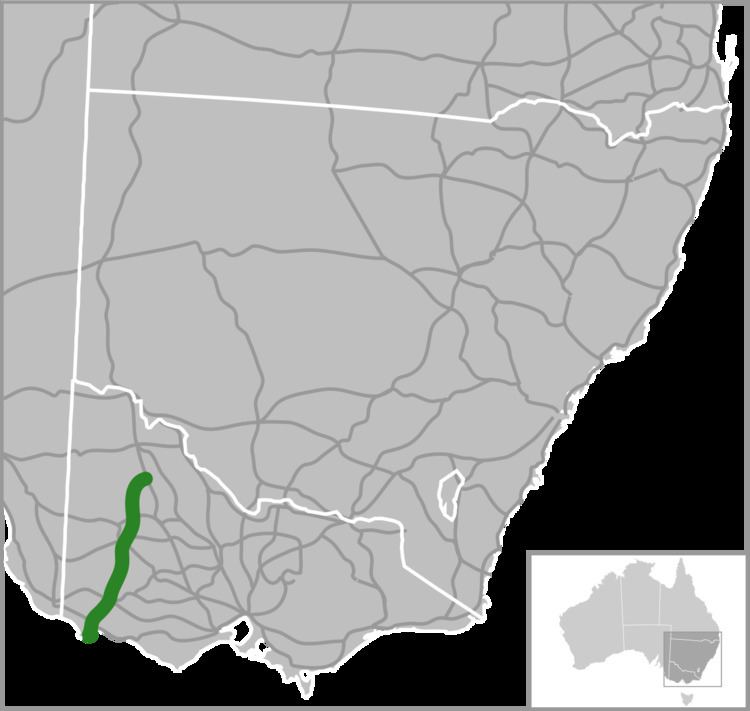
Henty Highway is a 360 kilometre highway in western Victoria, Australia. It's primarily a north-south route, and consists of a mix of 2 laned country highway standard and 4 lane arterial road within some of the larger towns along the route. The highway formerly ran all the way to meet the Calder Highway at its junction south of Ouyen, but when the Sunraysia Highway was given highway status, the Henty name was truncated back to Lascelles.

Map of Henty Hwy, Victoria, Australia

Henty Highway shares other roads along its route (this is called multiplexing), and these include:

  • A1 (Princes Highway) from Heywood to Portland North for 27 km
  • A8 (Western Highway) at Horsham for 3 km
  • B160 (Glenelg Highway) at Hamilton for 3 km
  • B240 (Wimmera Highway) from Horsham to Dooen for 10 km
  • C188 (Natimuk-Hamilton Road and Penshurst-Dunkeld Road) at Cavendish for 500 m
  • C234 (Borung Highway) at Warracknabeal for 1 km
  • References

    Henty Highway Wikipedia


    Similar Topics