
 | ||
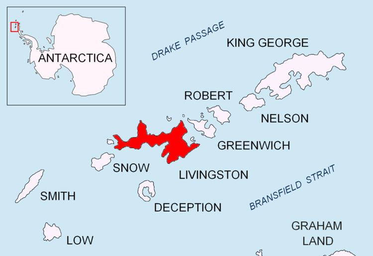
Willan Nunatak is an ice-free tipped peak rising to 449 m on the glacial divide between Huntress Glacier and Balkan Snowfield on Hurd Peninsula in eastern Livingston Island in the South Shetland Islands, Antarctica. It is linked to Burdick South Peak to the northeast by Willan Saddle and, via Castillo Nunatak and Charrúa Gap, to Charrúa Ridge to the west.
Contents
The nunatak is named after the British geologist Robert Charles Richard Willan (b. 1952) who has carried out field work in the area.
Location
The peak is located at 62°39′13.7″S 60°16′32″W which is 890 m east of Castillo Nunatak, 4.66 km east-southeast of Sinemorets Hill, 2.36 km south-southwest of Burdick Peak, 2.48 km west-southwest of Pliska Peak, 4.96 km west-northwest of Mount Friesland, 4.63 km north-northwest of Stambolov Crag and 3.21 km northeast of Napier Peak. British mapping in 1968, Spanish in 1991, and Bulgarian topographic survey in 1995/96 and mapping in 1996, 2005 and 2009.