
 | ||
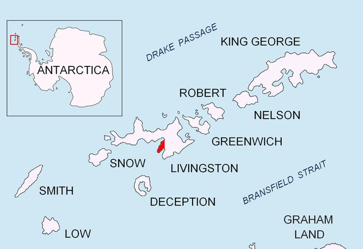
Napier Peak is the partly ice-free peak rising to 380 m on Hurd Peninsula, Livingston Island in the South Shetland Islands, Antarctica. It is linked to Charrúa Gap to the north by an 1.5 km ice-covered col, and by an ice-covered saddle to Mirador Hill to the south-southwest, and surmounts Johnsons Glacier to the northwest and west, Huntress Glacier to the east, and False Bay to the south.
Contents
Map of Napier Peak, Antarctica
The feature is named after Captain William Napier, Master of the schooner Venus, from New York, who visited the South Shetland Islands in 1820-21.
Location
The peak is located at 62°40′17.4″S 60°19′30.5″W which is 2.05 km southeast of Charrúa Ridge, 3.21 km southwest of Willan Nunatak, 6.79 km northwest of St. Cyril Peak and 2.2 km north-northeast of Moores Peak (Spanish mapping in 1991, and Bulgarian in 1996, 2005 and 2009).