Suvarna Garge (Editor)

Castillo Nunatak

Updated on
Edit
Like
Comment
Share on FacebookTweet on TwitterShare on LinkedInShare on Reddit
Castillo Nunatak

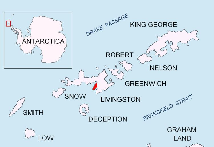
Castillo Nunatak is a conspicuous rocky peak rising to 437 m on the glacial divide between Huntress Glacier and Balkan Snowfield on Hurd Peninsula in eastern Livingston Island in the South Shetland Islands, Antarctica. It is linked to Charrúa Ridge to the west Charrúa Gap and, via Willan Nunatak and Willan Saddle, to Burdick Ridge to the east-northeast. Castillo Nunatak is a prominent landmark in the Charrúa Gap area.

Contents

The feature is descriptively named for its abrupt and isolated appearance ('Castle Nunatak' in Spanish).

Location

The peak is located at 62°39′16.7″S 60°17′34″W which is 860 m west of Willan Nunatak, 2.5 km northeast of Napier Peak, 2,9 km east of Charrúa Ridge and 2.8 km east-southeast of Krum Rock. Detailed Spanish mapping in 1991, and Bulgarian mapping in 1996, 2005 and 2009.

Maps

  • Isla Livingston: Península Hurd. Mapa topográfico de escala 1:25 000. Madrid: Servicio Geográfico del Ejército, 1991.
  • L.L. Ivanov. Livingston Island: Central-Eastern Region. Scale 1:25000 topographic map. Sofia: Antarctic Place-names Commission of Bulgaria, 1996.
  • L.L. Ivanov et al. Antarctica: Livingston Island and Greenwich Island, South Shetland Islands. Scale 1:100000 topographic map. Sofia: Antarctic Place-names Commission of Bulgaria, 2005.
  • L.L. Ivanov. Antarctica: Livingston Island and Greenwich, Robert, Snow and Smith Islands. Scale 1:120000 topographic map. Troyan: Manfred Wörner Foundation, 2009. ISBN 978-954-92032-6-4
  • References

    Castillo Nunatak Wikipedia