
Elevation 544 m | ||
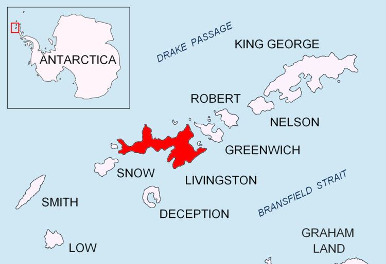 | ||
Burdick South Peak (Vrah Yuzhen Burdick \'vr&h 'yu-zhen 'b&r-dik) rises 544 m and is formed by an offshoot extending 1 km west-southwestwards from the southeastern extremity of Burdick Ridge in eastern Livingston Island. The peak is narrow, with steep and partly ice-free southern and northern slopes. It is linked to Willan Nunatak by Willan Saddle.
Contents
Map of Burdick South Peak, Antarctica
The feature takes its name from Burdick Peak.
Location
The peak is located at 62°38′36″S 60°15′33″W which is 980 m south by west of Burdick Peak, 5.26 km east of Sinemorets Hill, 1.45 km northeast of Willan Nunatak and 1.49 km west-northwest of Pliska Peak.
The peak was mapped by the Spanish Servicio Geográfico del Ejército in 1991. Co-ordinates, elevation and distances given according to a 1995-96 Bulgarian topographic survey.