
Country United States GNIS feature ID 453992 Local time Saturday 11:30 PM | FIPS code 18-80558 Elevation 291 m Population 13,304 (2010) | |
 | ||
Weather 12°C, Wind SE at 10 km/h, 40% Humidity Area 143.1 km² (142.6 km² Land / 44 ha Water) | ||
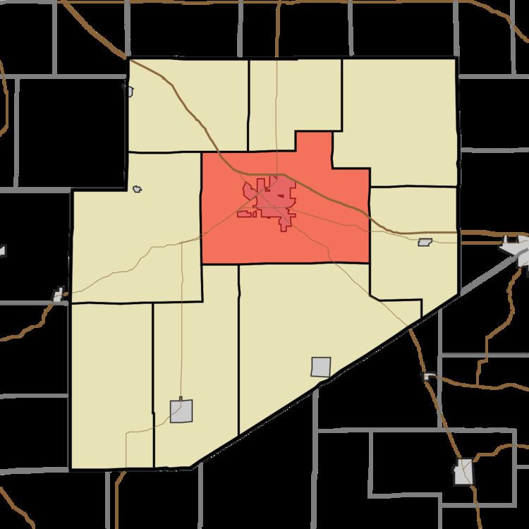
Washington Township is one of nine townships in Decatur County, Indiana. As of the 2010 census, its population was 13,304 and it contained 5,944 housing units.
Contents
- Map of Washington Township IN 47240 USA
- History
- Geography
- Cities and towns
- Unincorporated towns
- Adjacent townships
- Major highways
- Cemeteries
- References
Map of Washington Township, IN 47240, USA
History
Washington Township was organized in 1822.
Strauther Pleak Round Barn was added to the National Register of Historic Places in 1993.
Geography
According to the 2010 census, the township has a total area of 55.24 square miles (143.1 km2), of which 55.07 square miles (142.6 km2) (or 99.69%) is land and 0.17 square miles (0.44 km2) (or 0.31%) is water.
Cities and towns
Unincorporated towns
(This list is based on USGS data and may include former settlements.)
Adjacent townships
Major highways
Cemeteries
The township contains five cemeteries: Forsythe, Saint Marys, Sand Creek, South Park and Springer.
References
Washington Township, Decatur County, Indiana Wikipedia(Text) CC BY-SA