
Country United States GNIS feature ID 453230 Area 58.2 km² Population 513 (2010) | FIPS code 18-13708 Elevation 289 m Local time Tuesday 4:15 AM | |
 | ||
Weather 16°C, Wind S at 34 km/h, 67% Humidity | ||
Clinton Township is one of nine townships in Decatur County, Indiana. As of the 2010 census, its population was 513 and it contained 191 housing units.
Contents
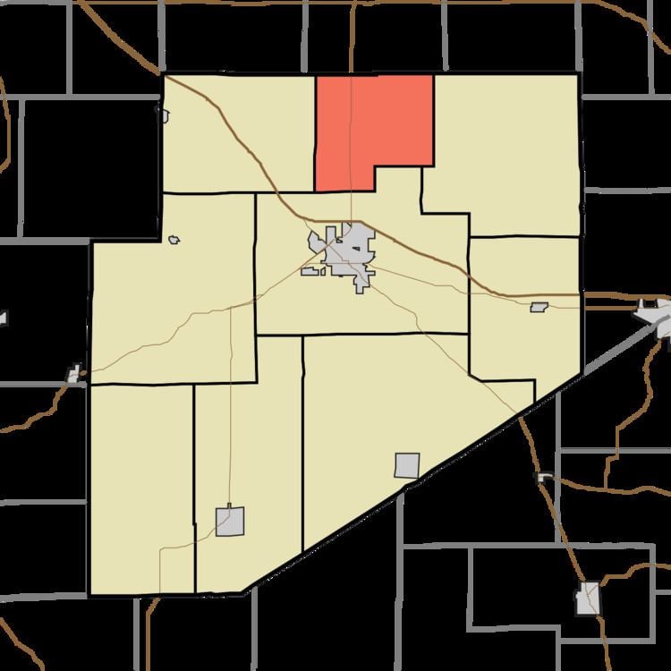
- Map of Clinton Township IN USA
- History
- Geography
- Unincorporated towns
- Adjacent townships
- Major highways
- Cemeteries
- References
Map of Clinton Township, IN, USA
History
Clinton Township was organized in 1829.
Geography
According to the 2010 census, the township has a total area of 22.47 square miles (58.2 km2), all land.
Unincorporated towns
Adjacent townships
Major highways
Cemeteries
The township contains three cemeteries: Butcher, McLaughlin and Swails.
References
Clinton Township, Decatur County, Indiana Wikipedia(Text) CC BY-SA