
Country United States GNIS feature ID 453604 Local time Monday 12:16 AM | FIPS code 18-46872 Elevation 276 m Population 1,638 (2010) | |
 | ||
Weather -1°C, Wind E at 14 km/h, 45% Humidity Area 143.8 km² (143.7 km² Land / 16 ha Water) | ||
Marion Township is one of nine townships in Decatur County, Indiana. As of the 2010 census, its population was 1,638 and it contained 667 housing units.
Contents
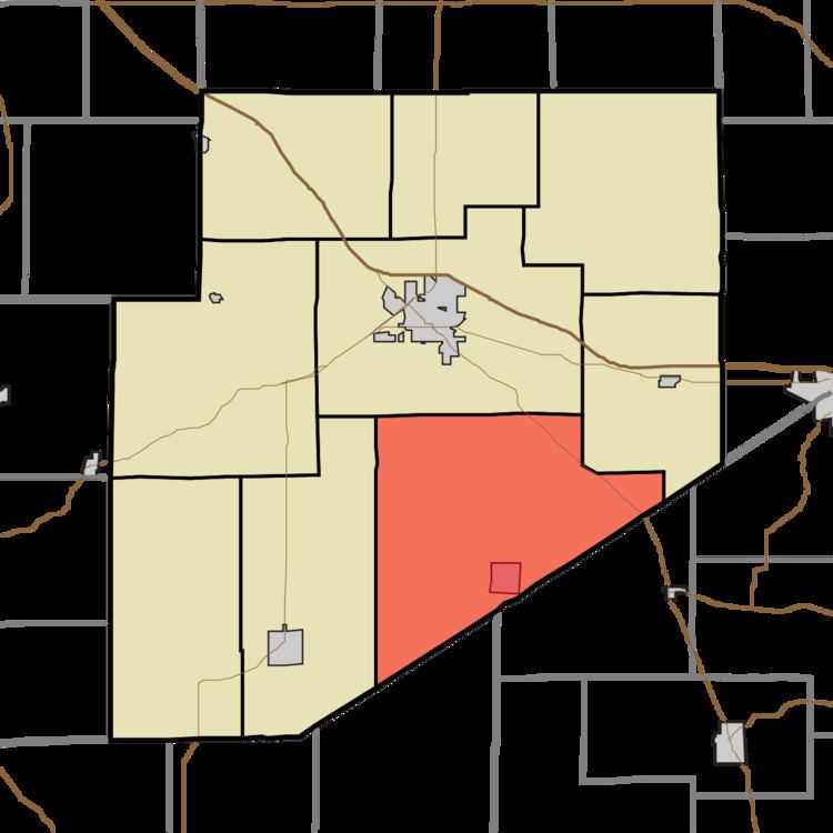
- Map of Marion Township IN USA
- History
- Geography
- Cities and towns
- Unincorporated towns
- Adjacent townships
- Major highways
- Cemeteries
- References
Map of Marion Township, IN, USA
History
Marion Township was organized in 1831.
Geography
According to the 2010 census, the township has a total area of 55.54 square miles (143.8 km2), of which 55.48 square miles (143.7 km2) (or 99.89%) is land and 0.06 square miles (0.16 km2) (or 0.11%) is water.
Cities and towns
Unincorporated towns
(This list is based on USGS data and may include former settlements.)
Adjacent townships
Major highways
Cemeteries
The township contains four cemeteries: Antioch, Burks Chapel, Mount Pleasant, and Immaculate Conception Catholic Cemetery.
References
Marion Township, Decatur County, Indiana Wikipedia(Text) CC BY-SA