
Country United States GNIS feature ID 453832 Local time Tuesday 4:07 AM | FIPS code 18-67734 Elevation 261 m Population 3,120 (2010) | |
 | ||
Weather 9°C, Wind N at 6 km/h, 91% Humidity Area 111.9 km² (111.8 km² Land / 10 ha Water) | ||
Sand Creek Township is one of nine townships in Decatur County, Indiana. As of the 2010 census, its population was 3,120 and it contained 1,331 housing units.
Contents
- Map of Sandcreek Township IN USA
- History
- Geography
- Cities and towns
- Unincorporated towns
- Adjacent townships
- Major highways
- Cemeteries
- References
Map of Sandcreek Township, IN, USA
History
Sand Creek Township was organized in 1825.
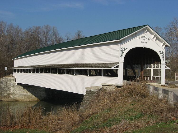
Westport Covered Bridge was added to the National Register of Historic Places in 1982.
Geography
According to the 2010 census, the township has a total area of 43.21 square miles (111.9 km2), of which 43.17 square miles (111.8 km2) (or 99.91%) is land and 0.04 square miles (0.10 km2) (or 0.09%) is water.
Cities and towns
Unincorporated towns
(This list is based on USGS data and may include former settlements.)
Adjacent townships
Major highways
Cemeteries
The township contains seven cemeteries: Eddleman, Finley, Horseshoe Bend, Mapleton, Old Burk (aka Vanderbur Cemetery), Rodney and Westport.
References
Sand Creek Township, Decatur County, Indiana Wikipedia(Text) CC BY-SA